Chest opened
+${chestReward.xp} XP
Explorer
NOUVEAU ×${chestReward.collectible.quantity}
tapez pour fermer
Chest locked

Open chests in the app

Around Us is built for your phone — chests unlock when you walk, explore and capture nearby places.

Enable Location

We need your location to show you interesting places around you

Discover nearby places

Find interesting locations and hidden gems around you

Precise directions

Get accurate directions and distances to places

Your location is never shared with other users. It's only used when you tap the location button.

Tagokura Dam

Log in to your account

Start exploring — it's free

Trusted by 72,991 travelers worldwide

Continue with Google
Continue with Apple
or

We will send you a code to connect

By continuing, you accept our Terms and Conditions and our Privacy Policy

Check your inbox

We've sent a pincode in your inbox. Please enter the code below.

Tagokura Dam
Discussion Reviews 1 Photos
20.7k Popularity

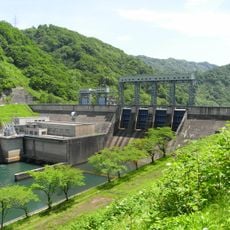
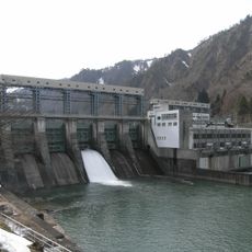
Tagokura Dam, Hydroelectric dam in Fukushima Prefecture, Japan

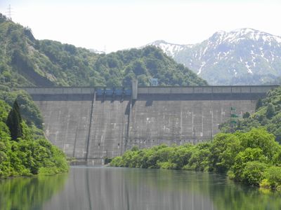
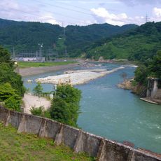
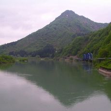
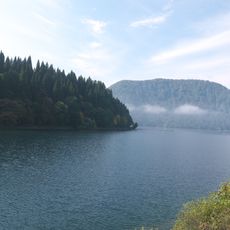
Tagokura Dam is a concrete structure that rises 145 meters and spans 462 meters across the Tadami River, creating a reservoir that shapes the surrounding landscape. The stored water serves multiple functions, including power generation, water supply, and flood management throughout the area.

Planning began in 1953 as Japan worked to expand its energy production during a period of rapid growth. The project finished in 1959, becoming part of the country's broader infrastructure development effort.

The dam regulates water flow that shapes daily life across the region and affects how local communities manage their resources. You can observe how the structure influences the landscape and the way people depend on it for their routines.

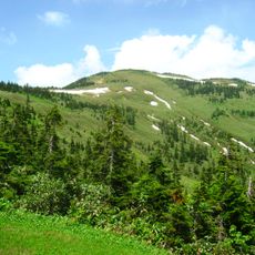
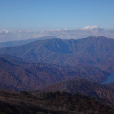
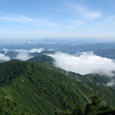
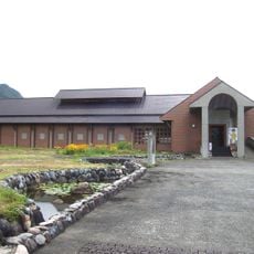
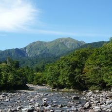
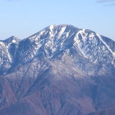
The location sits in mountainous terrain and is best visited during clear weather when views are visible from different vantage points. Aizu-Wakamatsu is the nearest town and serves as a convenient base for reaching the site.

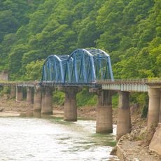
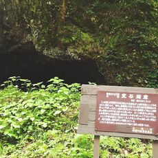
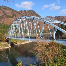
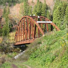
Building the dam required extending railway networks from Aizu-Wakamatsu into the mountain region. This railway remains operational today and connects visitors to the area while linking to its construction history.

The community of curious travelers

AroundUs brings together thousands of curated places, local tips, and hidden gems, enriched daily by 60,000 contributors worldwide.

Start exploring
Inception
1960
Height
145 m
GPS coordinates
37.31060,139.28700
Latest update
December 7, 2025 10:05
Reviews
Share your experience

No review yet

Discussions
Start a discussion...

No discussion yet

« Tagokura Dam - Hydroelectric dam in Fukushima Prefecture, Japan » is provided by Around Us (aroundus.com). Images and texts are derived from Wikimedia project under a Creative Commons license. You are allowed to copy, distribute, and modify copies of this page, under the conditions set by the license, as long as this note is clearly visible.

Discover hidden gems everywhere you go!

From secret cafés to breathtaking viewpoints, skip the crowded tourist spots and find places that match your style. Our app makes it easy with voice search, smart filtering, route optimization, and insider tips from travelers worldwide. Download now for the complete mobile experience.

Around Us App Screenshot

A unique approach to discovering new places

Le Figaro

All the places worth exploring

France Info

A tailor-made excursion in just a few clicks

20 Minutes

Around Us
Travel Guide & Maps
Download

Send to your phone

QR Code
1

Open the camera app on your mobile.

2

Point at the QR code with your camera. A notification will appear.

3

Tap the notification to open the link.