笹子雁ヶ腹摺山, Mountain summit in Yamanashi Prefecture, Japan
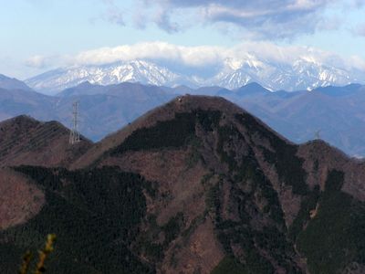
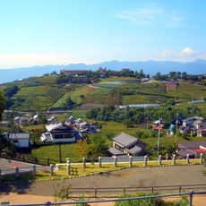
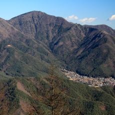
Mount Sasagogangaharasuriyama rises to about 1,357 meters and connects the Daibosatsu Ridge to the Misaka mountain range through steep terrain. The landscape shifts between forested sections and open ridges that offer wide views across the surrounding peaks.
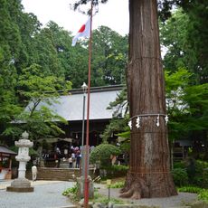
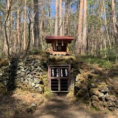
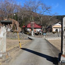
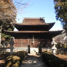
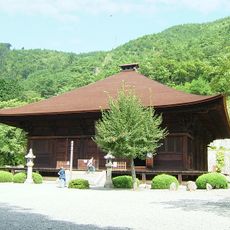
The trail follows sections of the ancient Koshu Kaido trade route, which connected Edo (now Tokyo) with the former Kai Province and passed through multiple tunnels. This path reveals how the mountain area served as an important passage for merchants and travelers in earlier periods.
The mountain's name comes from wild geese that historically migrated over this ridge, showing how Japanese people named natural features based on animal movements and seasonal patterns.
The hike starts at Sasago Station and follows a route of roughly 13.5 kilometers that takes about seven hours, ending at Kai-Yamato Station. Walkers should prepare for changing weather and wear sturdy footwear, as the path crosses steep and rocky sections.
The summit holds three large radio repeaters that serve double duty as navigation landmarks and essential communication infrastructure for the region. This modern setup offers a surprising contrast to the traditional mountain path experience.
The community of curious travelers
AroundUs brings together thousands of curated places, local tips, and hidden gems, enriched daily by 60,000 contributors worldwide.