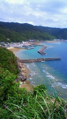
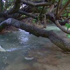
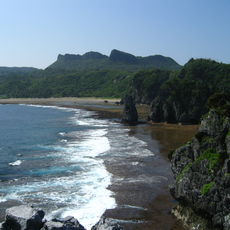
Kayauchi-banta Cliff, Limestone cliff in Kunigami, Japan
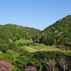
Kayauchi-banta Cliff is a limestone formation rising approximately 80 meters above the East China Sea, with steep faces meeting the ocean directly below. From the vantage point, you can see coral reefs dotting the shallow waters and forested mountain ridges extending across the Okinawan landscape.
Before road construction in 1913, a narrow mountain path called the Backtracking Path was the only way through this area, allowing just one person to pass at a time. This tight passage shows how isolated and difficult the location was to reach before modern access routes were built.
The name combines 'Kaya', referring to thatched grass bundles once cast over the edge, and 'Banta', the Okinawan word for cliff. This linguistic blend reflects how local traditions and speech are woven into the land itself.
The observation point has parking for about 20 vehicles and requires roughly a three-hour drive from Naha Airport using regular roads. Arriving with good daylight and being prepared for changeable weather conditions are practical considerations for a comfortable visit.
The cliff's crevice underwent modifications after 1912 when a school principal made changes to reduce absenteeism among students from the area. This alteration to the natural feature shows an unusual case where education goals shaped the landscape itself.
The community of curious travelers
AroundUs brings together thousands of curated places, local tips, and hidden gems, enriched daily by 60,000 contributors worldwide.