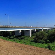
Iruma Bridge, Road bridge in Kawagoe, Japan
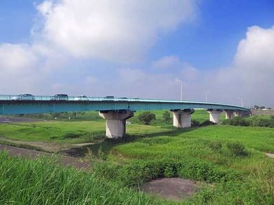
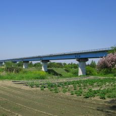
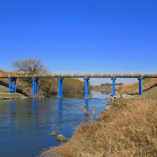
Iruma Bridge is a road crossing over the Iruma River in Kawagoe, with multiple lanes for vehicles and separate pedestrian walkways on each side. The structure allows cars and people to move safely without sharing the same space.
The bridge was constructed to link both sides of the Iruma River in Kawagoe and improve traffic flow between nearby communities. It became part of the regional road network that helped local areas develop and stay connected.
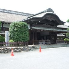
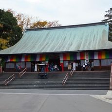
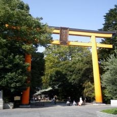
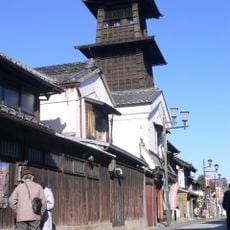
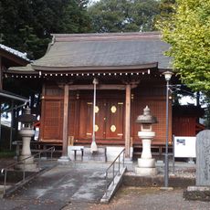
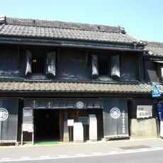
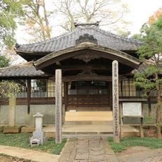
The bridge integrates with the traditional landscape of Kawagoe City, where residents maintain connections to both modern and historical elements.
You can cross the bridge at any time as it is open to public traffic and easy to access. The pedestrian paths are clearly marked and comfortable for walking.
The structure functions as a central point in the transportation network of Kawagoe, supporting the movement of thousands of vehicles daily.
The community of curious travelers
AroundUs brings together thousands of curated places, local tips, and hidden gems, enriched daily by 60,000 contributors worldwide.