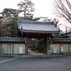
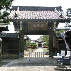
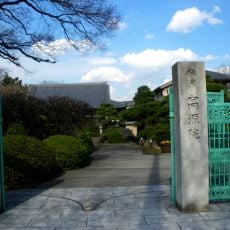
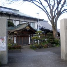
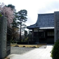
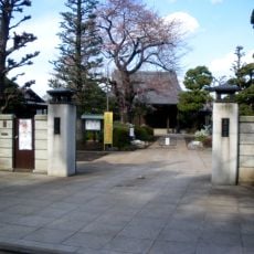
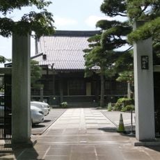
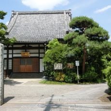
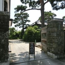
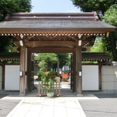
浄因寺, Buddhist temple in Setagaya-ku, Japan.
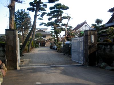
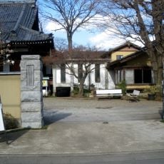
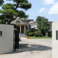
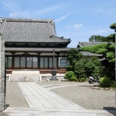
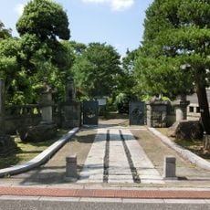
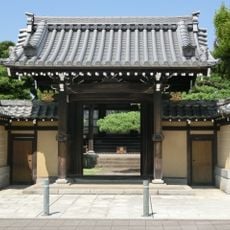
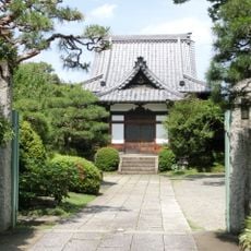
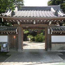
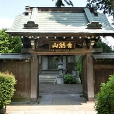
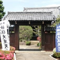
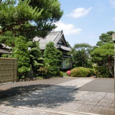
This Buddhist temple comprises several traditional buildings, with a main hall dating to 1677 and surrounded by gardens and burial grounds. The structures follow classical Japanese architectural styles and are connected by pathways through tree-lined areas.
The site was originally founded as a temple in 1480 and later became closely associated with an influential samurai family. The family maintained its significance at the location across several centuries.
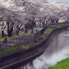
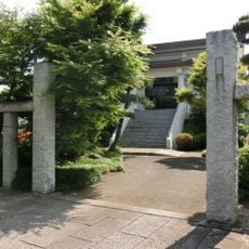
The grounds serve as a spiritual gathering place for local residents, with stone sculptures and planted areas that create spaces for reflection. The site maintains regular ceremonies that shape its daily atmosphere throughout the year.
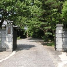
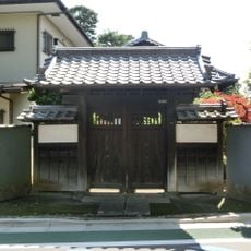
The temple is located in a quiet residential area and is easily accessible by public transportation. Visitors should dress respectfully and move quietly through the grounds, as it remains an active spiritual site.
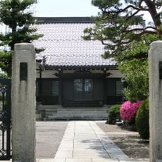
The grounds contain burial sites of prominent members of a historical samurai family, making it an important genealogical location. These tombs are scattered across the property and add to the contemplative feeling of the place.
The community of curious travelers
AroundUs brings together thousands of curated places, local tips, and hidden gems, enriched daily by 60,000 contributors worldwide.