Umenoki-todoro no Taki, Wasserfall in Japan
Location: Kumamoto Prefecture
GPS coordinates: 32.53608,130.93688
Latest update: March 4, 2025 10:35

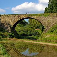
Tsūjun Bridge
17.1 km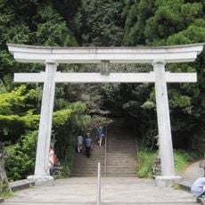
Heitate-jinja
25.1 km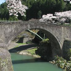
Reidai Bridge
11.4 km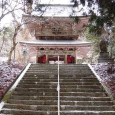
Shakain
9.7 km
Mount Kunimi
7.7 km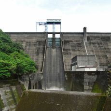
Ichifusa Dam
25.1 km
Mifune Dinosaur Museum
23.6 km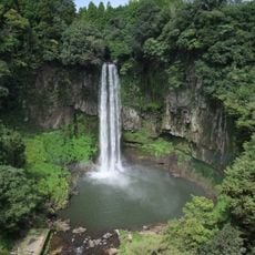
Gorō Falls
17 km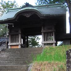
長寿寺 (熊本市)
28.5 km
Sendan-todoro no Taki
4.4 km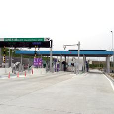
Mashiki toll gate
27.3 km
岩尾城 (肥後国)
17.3 km
Shiranui Museum
28 km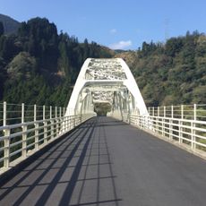
内大臣橋
12 km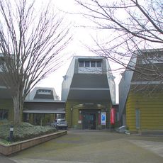
Yunomae Manga Museum
28.8 km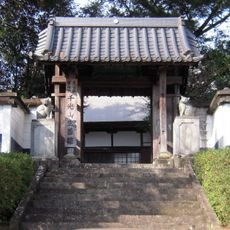
Shōzen-in
27.9 km
Mōshigi monju-dō
17.2 km
Tōfuku-ji
18.8 km
向野田古墳
28.4 km
三宝寺 (宇城市)
21.8 km
明導寺
29.1 km
Château d'Akai
28.9 km
正覚寺 (宇城市)
19.3 km
宇城市立豊野小中学校
20.9 km
宗覚寺
28.3 km
Kumamoto Civil Astronomical Observatory
25.4 km
Sesshu-ji
21.5 km
Shin Mominoki Suspension Bridge
5.1 kmReviews
Visited this place? Tap the stars to rate it and share your experience / photos with the community! Try now! You can cancel it anytime.
Discover hidden gems everywhere you go!
From secret cafés to breathtaking viewpoints, skip the crowded tourist spots and find places that match your style. Our app makes it easy with voice search, smart filtering, route optimization, and insider tips from travelers worldwide. Download now for the complete mobile experience.

A unique approach to discovering new places❞
— Le Figaro
All the places worth exploring❞
— France Info
A tailor-made excursion in just a few clicks❞
— 20 Minutes