Enable Location

We need your location to show you interesting places around you

Discover nearby places

Find interesting locations and hidden gems around you

Precise directions

Get accurate directions and distances to places

Your location is never shared with other users. It's only used when you tap the location button.

Log in to your account

Start exploring — it's free

Trusted by 62,033 travelers worldwide

Continue with Google
Continue with Apple
or

We will send you a code to connect

By continuing, you accept our Terms and Conditions and our Privacy Policy

Check your inbox

We've sent a pincode in your inbox. Please enter the code below.

Tenpakubara

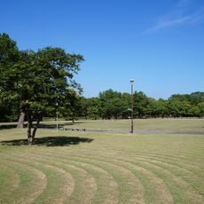
Tenpakubara, Diluvial upland in Toyohashi, Japan

Tenpakubara is an elevated terrain in Toyohashi formed by ancient sedimentary deposits and geological processes over extended periods. The landform displays visible layers of sediment that reveal how water and weathering shaped the landscape.

The plateau emerged through millions of years of geological change as tectonic activity and erosion shaped the terrain. The sediment layers record different climate phases and sea level shifts from Earth's history.

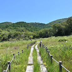
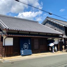
The upland holds meaning for local communities as a visible reminder of how terrain shapes where and how settlements develop in the region. Visitors walking through can observe how the elevated ground relates to the villages and farmland below.

The site is best explored on foot with good viewpoints from the highest points of the plateau. Wearing sturdy shoes is recommended as certain paths can become slippery after rain.

The sediment layers contain traces of water flow patterns from thousands of years ago that carved visible channels into the ground. These ancient water pathways remain visible in the soil structure and offer clues about past environmental conditions.

The community of curious travelers

AroundUs brings together thousands of curated places, local tips, and hidden gems, enriched daily by 60,000 contributors worldwide.

Start exploring
Location
GPS coordinates
34.69996,137.42436
Latest update
December 14, 2025 16:46
« Tenpakubara - Diluvial upland in Toyohashi, Japan » is provided by Around Us (aroundus.com). Images and texts are derived from Wikimedia project under a Creative Commons license. You are allowed to copy, distribute, and modify copies of this page, under the conditions set by the license, as long as this note is clearly visible.

Discover hidden gems everywhere you go!

From secret cafés to breathtaking viewpoints, skip the crowded tourist spots and find places that match your style. Our app makes it easy with voice search, smart filtering, route optimization, and insider tips from travelers worldwide. Download now for the complete mobile experience.

Around Us App Screenshot

A unique approach to discovering new places

Le Figaro

All the places worth exploring

France Info

A tailor-made excursion in just a few clicks

20 Minutes

Around Us
Travel Guide & Maps
Download

Send to your phone

QR Code
1

Open the camera app on your mobile.

2

Point at the QR code with your camera. A notification will appear.

3

Tap the notification to open the link.