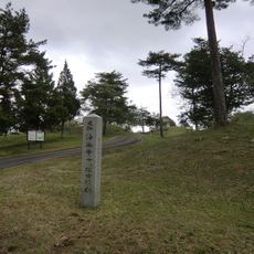
分水界泣き別れ, Drainage divide in Akitakata, Japan
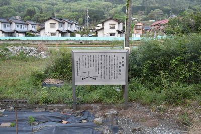
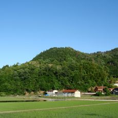
Nakiwakare is a drainage divide near Akitakata at an elevation of about 205 meters, where river waters diverge into separate drainage basins. The site clearly shows how water from this point flows in different directions toward distinct river systems.
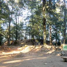
The drainage divide has served as a geographical marker for travelers and mountaineers since ancient times in the Hiroshima region. Over the centuries, this location retained its importance as a natural boundary between different water systems.
The name Nakiwakare means 'weeping divide' in Japanese, rooted in local stories about parting and separation tied to this geographical point. Visitors can sense this emotional meaning while standing here and observing the landscape around them.
The site is accessible via well-maintained hiking paths that allow visitors to explore the surrounding nature and observe water flow patterns in different directions. The area is open to hikers and offers a good opportunity to experience the landscape features firsthand.
At this location, visitors can observe how rainwater from the same point flows in opposite directions and eventually feeds different rivers. This visible phenomenon makes the hidden power of topography tangible and shows how natural boundaries run invisibly across the land.
The community of curious travelers
AroundUs brings together thousands of curated places, local tips, and hidden gems, enriched daily by 60,000 contributors worldwide.