Shakh Fazil, Archaeological site in Ala-Buka District, Kyrgyzstan.
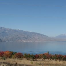
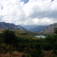
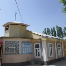
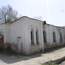
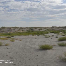
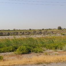
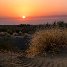
Shakh Fazil is an archaeological complex in the Ala-Buka District of Kyrgyzstan, made up of a mausoleum, a mosque, a sacred mountain called Archa Mazar, and a natural cave near the village of Safedbulan. The different parts of the site are spread across the surrounding landscape rather than grouped in one enclosed area.
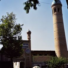
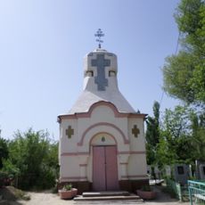
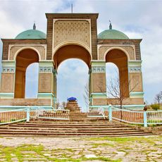
The main mausoleum was built in the mid-11th century as an example of Qarakhanid architecture, a style that marked the spread of Islam across Central Asia during that period. The religious structures at the site reflect the role this area played in the broader cultural shifts of medieval Central Asia.
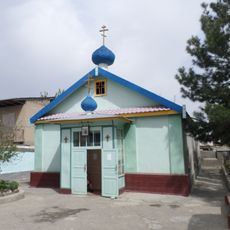
Shakh Fazil draws Muslim pilgrims from across Central Asia who come to pray and perform rituals, especially at certain times of year. The site feels less like a tourist destination and more like a place of ongoing religious life, shaped by the people who visit it regularly.
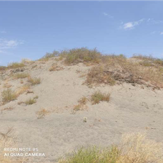
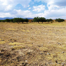
The site is made up of several separate parts spread across the landscape, so coming with a local guide or knowing the layout in advance makes the visit much easier. Allow enough time to move between the different elements, as the paths cross open terrain and the full visit takes most of a day.
Among the religious structures, there is a vertical stone object that does not match the usual forms of Islamic sacred architecture found in this part of Central Asia. Its origin and meaning have never been fully explained, and it tends to catch visitors off guard when they come across it.
The community of curious travelers
AroundUs brings together thousands of curated places, local tips, and hidden gems, enriched daily by 60,000 contributors worldwide.