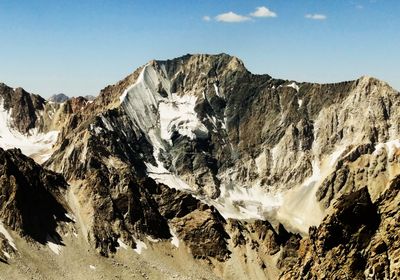
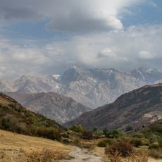
Mount Adelung, Mountain summit in Pskem Range, Uzbekistan.
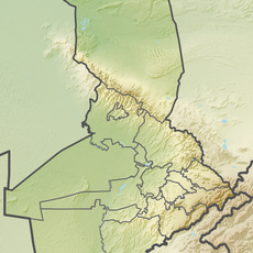
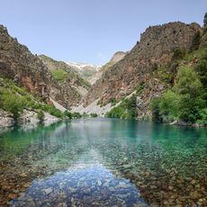
Mount Adelung is the highest peak of the Pskem mountain range located in northeastern Tashkent Region and stands at approximately 4,300 meters. The summit features rocky exposed terrain with steep slopes that dominate the landscape around it.
The peak received its name during Russian surveying expeditions in the 1800s when geographers mapped Central Asian territories. These mapping efforts brought the mountain to the attention of the wider world and established its place on regional maps.
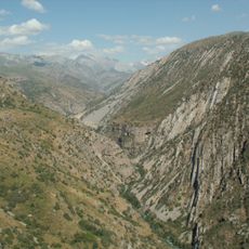
Local communities in the Tashkent Region view mountain peaks as sacred landmarks that help them navigate their surroundings and mark territorial boundaries. These summits hold meaning in how people relate to their landscape and seasonal patterns.
Climbing this summit requires specialized mountaineering gear and permits from Uzbekistan authorities to proceed safely. The best time to attempt the ascent is from June through September when weather patterns are most stable.
The summit stands only about 2 meters higher than its neighboring Mount Beshtor, making them among the closest major peaks in the range. This narrow elevation difference creates a unique geographic feature where two distinct summits appear nearly identical in height.
The community of curious travelers
AroundUs brings together thousands of curated places, local tips, and hidden gems, enriched daily by 60,000 contributors worldwide.