
Hattan, summit in Rauma, Norway
Location: Rauma Municipality
Elevation above the sea: 1,460 m
GPS coordinates: 62.33196,7.92998
Latest update: April 27, 2025 14:17

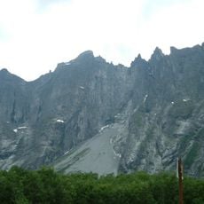
Troll Wall
19.7 km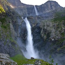
Mardalsfossen
18.4 km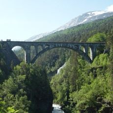
Kylling Bridge
6.7 km
Trollryggen
19.6 km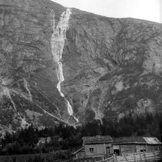
Mongefossen
12.5 km
Reinheimen National Park
18.5 km
Bispen
20.4 km
Innfjorden
26.2 km
Zakariasvatnet
25.2 km
Slettafossen
7.7 km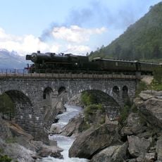
Stuguflåt Bridge
12 km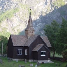
Kors Church
12.5 km
Sogge Bridge
24.5 km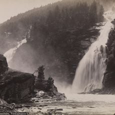
Vermafossen
6.1 km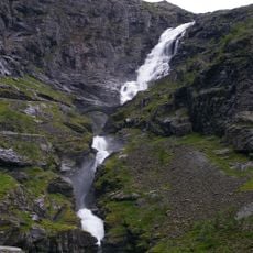
Stigfossen
19.2 km
Eikesdal Church
20.2 km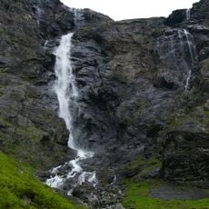
Trollfossen
18.9 km
Lesjaskog Church
24.2 km
Aurstaupet
24.8 km
Dønttinden
7.8 km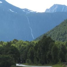
Ølmäafossen
12.7 km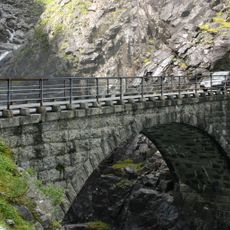
Stigfossbrua
19.2 km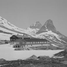
Trollstigheimen
17.9 km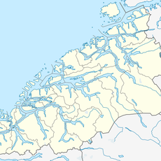
Breimegafossen
21.9 km
Gudbrandsjuvet
23.8 km
Kors gamle kirkegård
11.1 km
MJELVA
25.8 km
Einbu nordre
20.7 kmReviews
Visited this place? Tap the stars to rate it and share your experience / photos with the community! Try now! You can cancel it anytime.
Discover hidden gems everywhere you go!
From secret cafés to breathtaking viewpoints, skip the crowded tourist spots and find places that match your style. Our app makes it easy with voice search, smart filtering, route optimization, and insider tips from travelers worldwide. Download now for the complete mobile experience.

A unique approach to discovering new places❞
— Le Figaro
All the places worth exploring❞
— France Info
A tailor-made excursion in just a few clicks❞
— 20 Minutes