
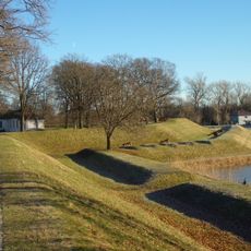
Kjennetjern, protected area in Norway
Location: Fredrikstad Municipality
GPS coordinates: 59.23800,10.85300
Latest update: June 4, 2025 09:43
Fredrikstad Fortress
6.9 km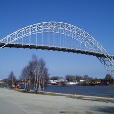
Fredrikstad Bridge
6.8 km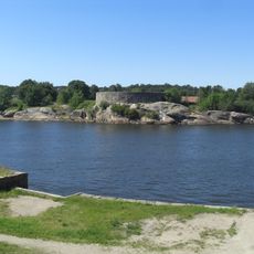
Isegran fort
6.6 km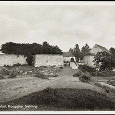
Kongsten fort
7.7 km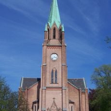
Fredrikstad Cathedral
6 km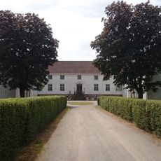
Elingaard Manor
3.3 km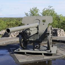
Torgauten fort
7.4 km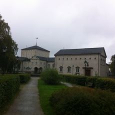
Fredrikstad bibliotek
6.2 km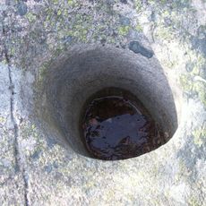
Mærrapanna
6.3 km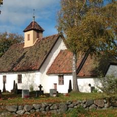
Old Glemmen Church
6.7 km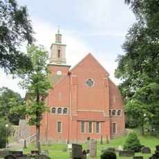
Glemmen Church
5.5 km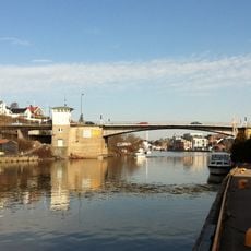
Kråkerøybrua
5.9 km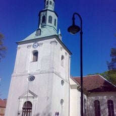
Østre Fredrikstad Church
6.9 km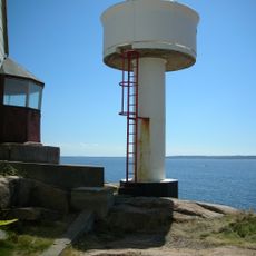
Phare de Strømtangen
9.8 km
Huth Fort
4.6 km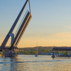
Værstebrua
5 km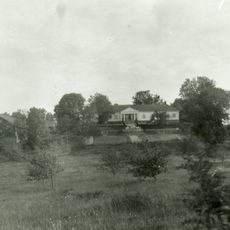
Kjølberg Herregård
3.4 km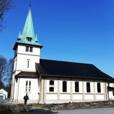
Onsøy Church
2 km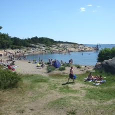
Foten
7.9 km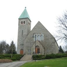
Gressvik Church
3.4 km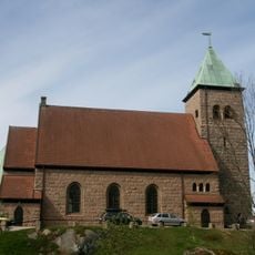
Kråkerøy Church
7.7 km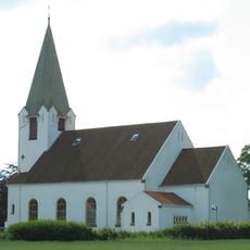
Rolvsøy Church
9.8 km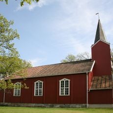
Tomb Church
9.7 km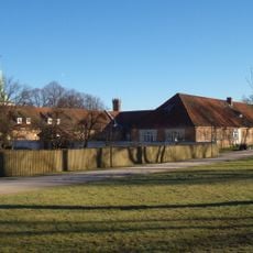
Fredrikstad museum
6.9 km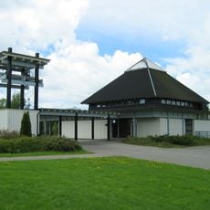
Kjølstad Church
8.8 km
Rolvsøysund bro
10.4 km
Kråkerøy-skjærgården
9.7 km
Onsøy prestegård
3.2 kmReviews
Visited this place? Tap the stars to rate it and share your experience / photos with the community! Try now! You can cancel it anytime.
Discover hidden gems everywhere you go!
From secret cafés to breathtaking viewpoints, skip the crowded tourist spots and find places that match your style. Our app makes it easy with voice search, smart filtering, route optimization, and insider tips from travelers worldwide. Download now for the complete mobile experience.

A unique approach to discovering new places❞
— Le Figaro
All the places worth exploring❞
— France Info
A tailor-made excursion in just a few clicks❞
— 20 Minutes