
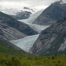
Nigardsbreen, protected area in Norway
Location: Luster Municipality
Inception: July 12, 1985
GPS coordinates: 61.67600,7.20900
Latest update: April 18, 2025 16:23
Jostedal Glacier
15.5 km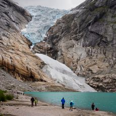
Briksdalsbreen
16.9 km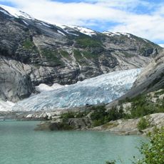
Nigardsbreen
1.4 km
Ramnefjellsfossen
18 km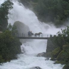
Jostedalsbreen National Park
11.9 km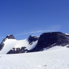
Lodalskåpa
12.8 km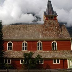
Olden Church
27 km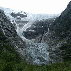
Kjenndalsbreen
11.5 km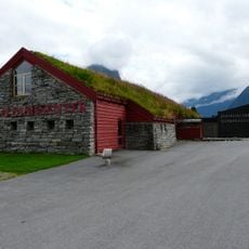
Jostedalsbreen National Park Centre
27.5 km
Myklebustbreen
27 km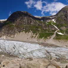
Austerdalsbreen
14.6 km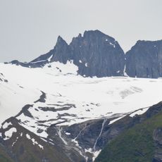
Tindefjellbreen
23 km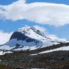
Tverrådalskyrkja
26.3 km
Snønipa
27.4 km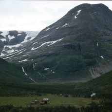
Bødalsseter
16.1 km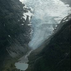
Bødalsbreen
13.3 km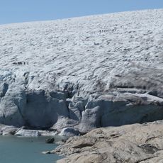
Austdalsbreen
17.3 km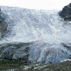
Bergsetbreen
8.1 km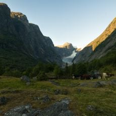
Brenndalsbreen
17.8 km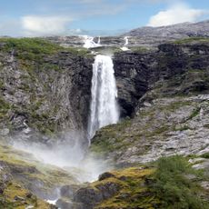
Krunefossen
11.7 km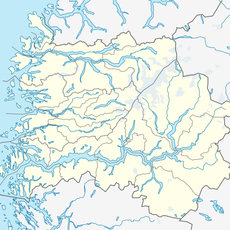
Drivandefossen
25.6 km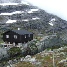
Sprongdalshytta
16.4 km
Volefossen
21.2 km
Tjøtafossen
18.7 km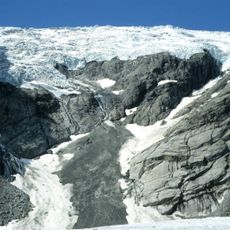
Lokebreen
16.1 km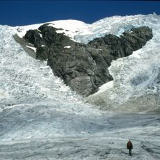
Odinsbreen
16.1 km
Breifonna (Stryn)
27.4 km
Torsbreen
14.6 kmReviews
Visited this place? Tap the stars to rate it and share your experience / photos with the community! Try now! You can cancel it anytime.
Discover hidden gems everywhere you go!
From secret cafés to breathtaking viewpoints, skip the crowded tourist spots and find places that match your style. Our app makes it easy with voice search, smart filtering, route optimization, and insider tips from travelers worldwide. Download now for the complete mobile experience.

A unique approach to discovering new places❞
— Le Figaro
All the places worth exploring❞
— France Info
A tailor-made excursion in just a few clicks❞
— 20 Minutes