
Maungarongo Pa, historic site in New Zealand
Location: Manawatū-Whanganui Region
Elevation above the sea: 572 m
GPS coordinates: -39.41392,175.39103
Latest update: March 21, 2025 08:23
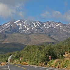
Mount Ruapehu
21 km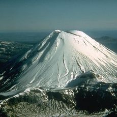
Mount Ngauruhoe
35.4 km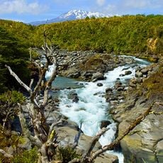
Tongariro National Park
29 km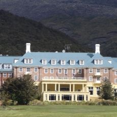
Chateau Tongariro
27 km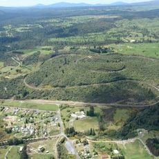
Raurimu Spiral
32.8 km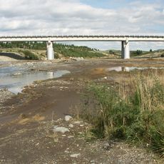
Whangaehu River
30.2 km
Whanganui National Park
32.5 km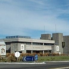
National Army Museum
25 km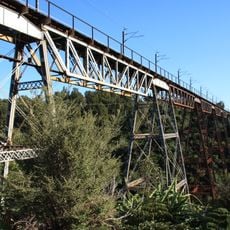
Makatote Viaduct
16.5 km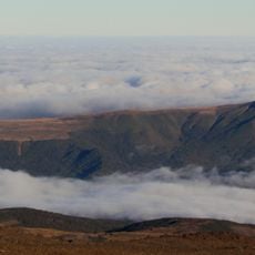
Hauhungatahi
21 km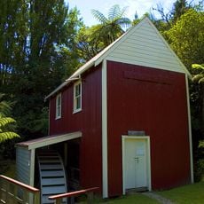
Kawana flour mill
29.1 km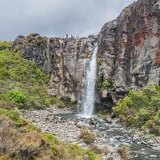
Taranaki Falls
28.3 km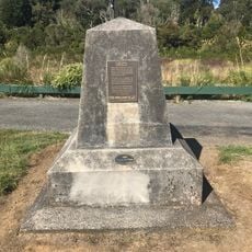
Last Spike Monument
15.4 km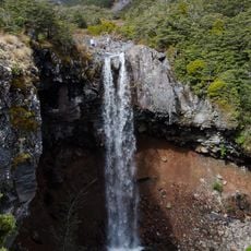
Mangawhero Falls
14.2 km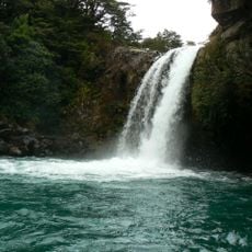
Tawhai Falls
28.9 km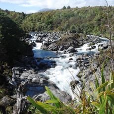
Mahuia Rapid
31.2 km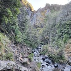
Waitonga Falls
13.8 km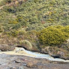
Silica Rapids
24.7 km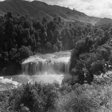
Raukawa Falls
24.4 km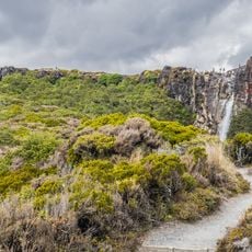
Taranaki Falls Walk
28.4 km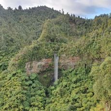
Tupapakurua Falls
26.1 km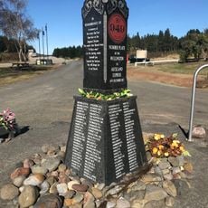
Tangiwai Historic Reserve
16.9 km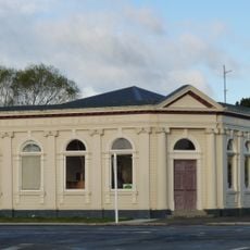
Bank of New Zealand
9.9 km
Taonui Viaduct
5.2 km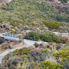
Silica Rapids Walk
24.7 km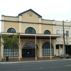
Theatre Royal
9.7 km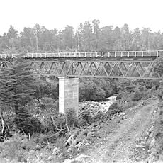
Mangaturuturu Viaduct
12.2 km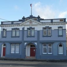
County Council Building
10 kmReviews
Visited this place? Tap the stars to rate it and share your experience / photos with the community! Try now! You can cancel it anytime.
Discover hidden gems everywhere you go!
From secret cafés to breathtaking viewpoints, skip the crowded tourist spots and find places that match your style. Our app makes it easy with voice search, smart filtering, route optimization, and insider tips from travelers worldwide. Download now for the complete mobile experience.

A unique approach to discovering new places❞
— Le Figaro
All the places worth exploring❞
— France Info
A tailor-made excursion in just a few clicks❞
— 20 Minutes