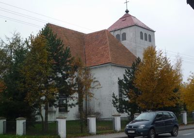
Górzyca, Village in Lubusz Voivodeship, Poland
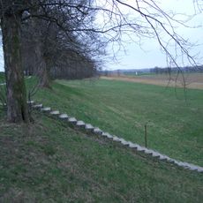
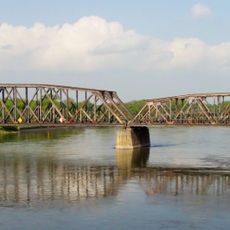
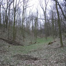
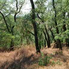
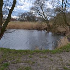
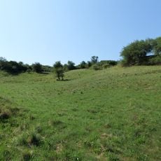
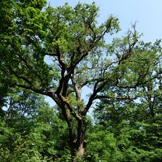
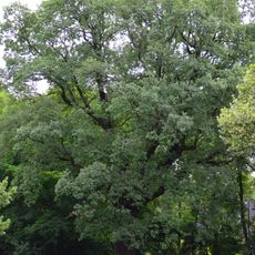
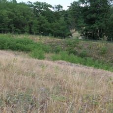
Górzyca is a village in Lubusz Voivodeship situated along the Oder River near the German border, with a setting that follows the natural contours of the landscape. The settlement spreads across gently sloping terrain defined by the river's presence and its low-lying elevation.
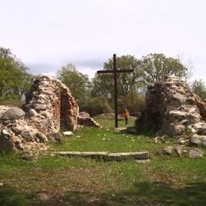
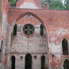
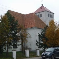
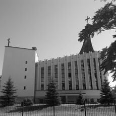
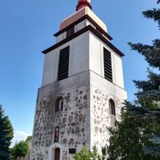
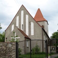
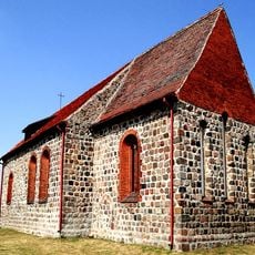
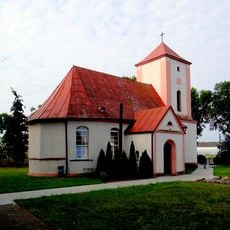
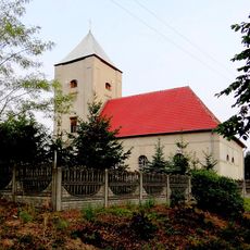
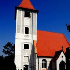
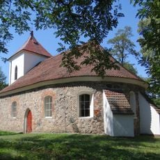
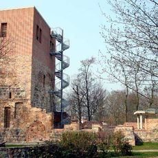
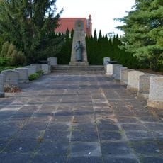
The settlement received its first written documentation in 1252 and later became an episcopal center under the Bishops of Lebus, who established religious institutions in the area. This ecclesiastical role shaped the community's development for centuries afterward.
The village sits on a border region where Polish and German traditions have intertwined over centuries, shaping local customs and community practices. You can see this blend reflected in how residents maintain their heritage and celebrate local events together.
The area lies about 18 kilometers north of Słubice and approximately 49 kilometers southwest of Gorzów Wielkopolski, placing it within reasonable reach of larger towns. Visitors should prepare for a rural setting and the typical weather patterns of the Oder region.
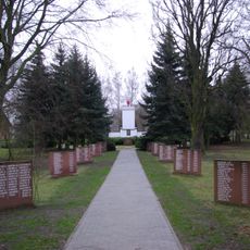
The settlement experienced a major population shift in 1945 when German residents departed and Polish settlers arrived, completely transforming the community. This dramatic change left deep marks on the place's history and how people here understand their own identity today.
Location: Gmina Górzyca
Elevation above the sea: 70 m
GPS coordinates: 52.49472,14.65500
Latest update: December 10, 2025 16:20
Ujście Warty National Park
10.4 km
Kostrzyn nad Odrą Fortress
9.6 km
Fort Gorgast
10.4 km
Kostrzyn nad Odrą Castle
9.5 km
Ruins of Saint Mary Church in Kostrzyn nad Odrą
9.5 km
Diplomatic Stairs
3.4 km
Village church Reitwein
5.2 km
Oderinsel Küstrin-Kietz
8.4 km
Kostrzyn-Kietz railway border crossing
9.6 km
Reitweiner Wallberge
5.2 km
Sowjetischer Ehrenfriedhof Reitwein
5.2 km
Our Lady church in Górzyca
210 m
Kościół Najświętszej Maryi Panny Matki Kościoła w Kostrzynie nad Odrą
10.4 km
Our Lady of the Scapular church in Czarnowo
7.9 km
Exaltation of the Holy Cross church in Golice
6.8 km
Radów church
8.9 km
Kościół Najświętszego Serca Pana Jezusa w Żabicach
4.6 km
Kościół Wniebowzięcia Najświętszej Maryi Panny w Pamięcinie
4.9 km
Kościół Narodzenia Najświętszej Maryi Panny w Laskach Lubuskich
4.2 km
Kościół św. Józefa Robotnika w Stańsku
9.2 km
Reitweiner Sporn mit Priesterschlucht, Mühlen- und Zeisigberg
7.8 km
Mittlere Oderniederung
9 km
Village Church
8.5 km
Priesterschlucht
7.6 km
Sowjetischer Ehrenfriedhof in Manschnow
9.2 km
Naturdenkmal Stiel-Eiche Im Reitweiner Wald
5.4 km
Naturdenkmal Eiche von 1815 Nordostufer Oderinsel, ca. 110 m südöstlich der Straßenbrücke in Alt Tucheband
10.6 km
Zeisigberg
6.4 kmVisited this place? Tap the stars to rate it and share your experience / photos with the community! Try now! You can cancel it anytime.
Discover hidden gems everywhere you go!
From secret cafés to breathtaking viewpoints, skip the crowded tourist spots and find places that match your style. Our app makes it easy with voice search, smart filtering, route optimization, and insider tips from travelers worldwide. Download now for the complete mobile experience.
A unique approach to discovering new places❞
— Le Figaro
All the places worth exploring❞
— France Info
A tailor-made excursion in just a few clicks❞
— 20 Minutes