
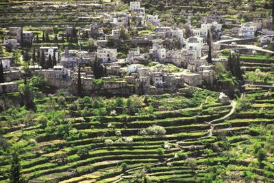
Battir, Palestinian village in the West Bank
Location: Bethlehem Governorate
Elevation above the sea: 720 m
GPS coordinates: 31.72472,35.13667
Latest update: March 7, 2025 19:11
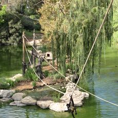
Jerusalem Biblical Zoo
4.7 km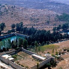
Solomon's Pools
5.1 km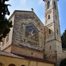
Church of the Visitation
4.9 km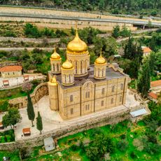
Gorny Monastery
4.8 km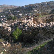
Betar
597 m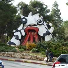
The Golem
5.3 km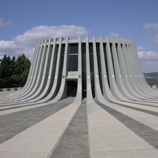
Yad Kennedy
2.7 km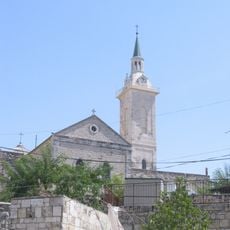
Church of St. John the Baptist
5.4 km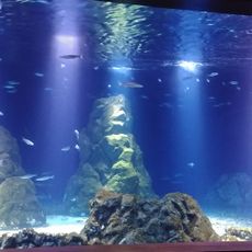
Israel aquarium
3.6 km
Notre-Dame de Sion
5.3 km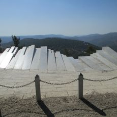
Arthur Rubinstein lookout
2.7 km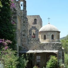
Monastery of St. John in the Wilderness
4.8 km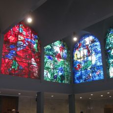
Chagall Windows
4.7 km
Hurvat Saadim
3 km
Cremisan
3.4 km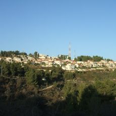
Mt. Ora
4 km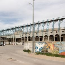
Al-Khader Stadium
3.2 km
Hadassah Trail
4.1 km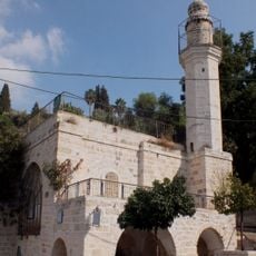
Spring Mosque
5.1 km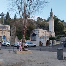
Mary's Spring
5.1 km
Debel Gallery
5.3 km
Ein Yael outdoor museum
4.4 km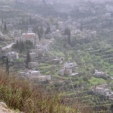
Palestine: Land of Olives and Vines – Cultural Landscape of Southern Jerusalem, Battir
803 m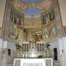
Kloster St. Johannes in Nemore
4.9 kmNaḩḩālīn
4.6 km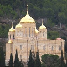
All Saints of Russia Cathedral
4.7 kmMaghārat al Matārisīyah
3.6 kmMaghārat Wādī Sālim
4.6 kmVisited this place? Tap the stars to rate it and share your experience / photos with the community! Try now! You can cancel it anytime.
Discover hidden gems everywhere you go!
From secret cafés to breathtaking viewpoints, skip the crowded tourist spots and find places that match your style. Our app makes it easy with voice search, smart filtering, route optimization, and insider tips from travelers worldwide. Download now for the complete mobile experience.

A unique approach to discovering new places❞
— Le Figaro
All the places worth exploring❞
— France Info
A tailor-made excursion in just a few clicks❞
— 20 Minutes