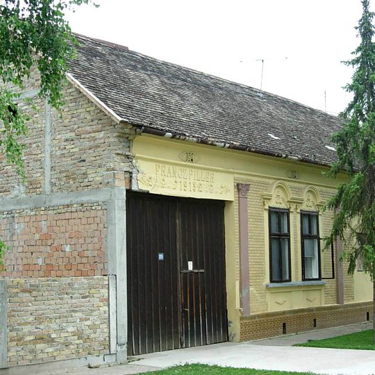
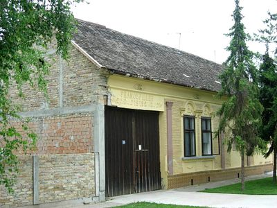
Čelarevo, human settlement
The community of curious travelers
AroundUs brings together thousands of curated places, local tips, and hidden gems, enriched daily by 60,000 contributors worldwide.
Fruška Gora National Park
15.9 km
Kuveždin monastery
15.9 km
Dunđerski Palace
613 m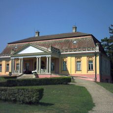
Dundjerski Castle in Kulpin
15.6 km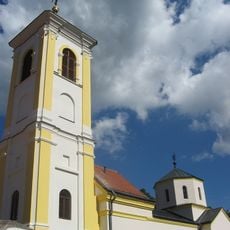
Divša monastery
11.8 km
Petkovica monastery
16 km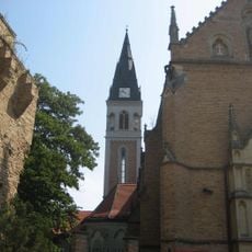
Ilok Castle
12.8 km
Nature Park Begecka jama
8.1 km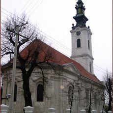
Crkva Svetih Vračeva Kuzme i Damjana
15.8 km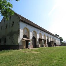
Museum of Agriculture in Kulpin
15.5 km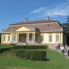
Kulpin Museum complex
15.5 km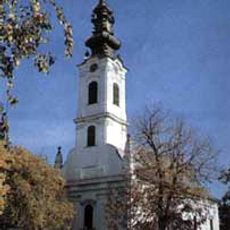
Crkva Sv. Jovana Krstitelja
10.3 km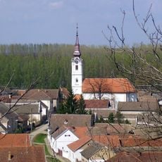
Crkva Sv. Kozme i Damjana
7.6 km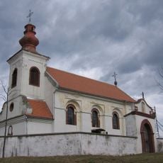
Crkva Sv. Georgija
9.7 km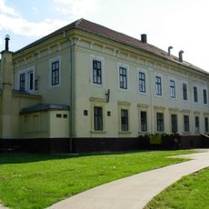
Château Chotek
13.9 km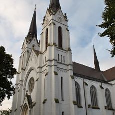
Crkva srca Isusovog
13.9 km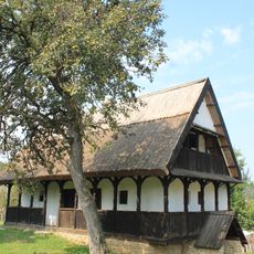
Seoska kuća u Neštinu
5.8 km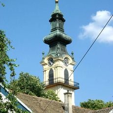
Evangelist Church in Bački Petrovac
11.4 km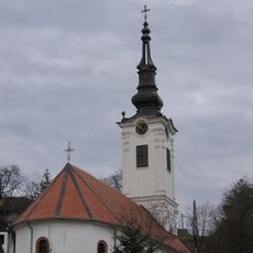
Crkva Sv. Save
12.3 km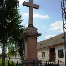
Croix votive à Futog
15.7 km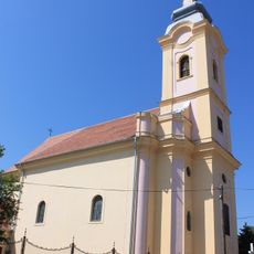
Rimokatolička crkva Sv. Josipa
12.3 km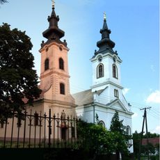
Crkva Sv. Jovana Zlatoustog
14.8 km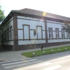
Library "Štefan Homola" Bački Petrovac
11.4 km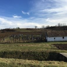
Jewish cemetery in Ilok
12.9 km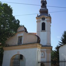
Crkva Sv. Arhangela Gavrila
5.1 km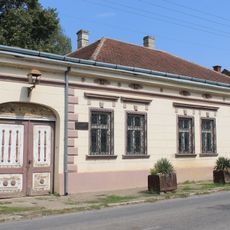
Homeland Museum of Čerevic
12.4 km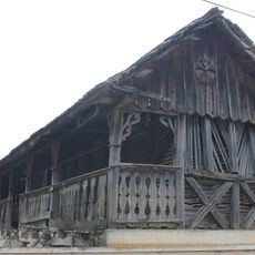
Čardak à Sviloš
11.5 km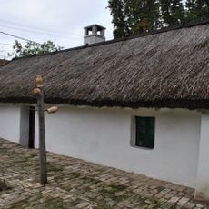
Maison à Bački Petrovac
12 kmDiscover hidden gems everywhere you go!
From secret cafés to breathtaking viewpoints, skip the crowded tourist spots and find places that match your style. Our app makes it easy with voice search, smart filtering, route optimization, and insider tips from travelers worldwide. Download now for the complete mobile experience.

A unique approach to discovering new places❞
— Le Figaro
All the places worth exploring❞
— France Info
A tailor-made excursion in just a few clicks❞
— 20 Minutes
