
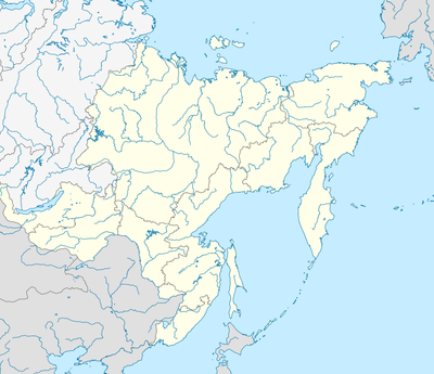
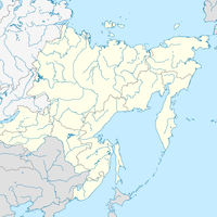
比罗费尔德农村居民点, human settlement in Birobidzhansky District, Jewish Autonomous Oblast, Russia
Location: Birobidzhansky District
Capital city: Birofeld
GPS coordinates: 48.42000,132.79722
Latest update: March 6, 2025 04:51
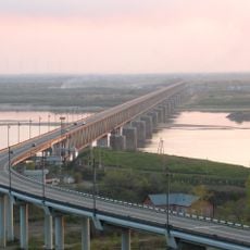
Khabarovsk Bridge
163.1 km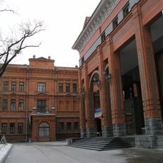
Archaeological Museum
166.8 km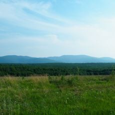
Bolshekhekhtsirsky Nature Reserve
154.5 km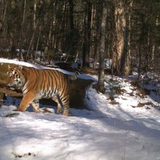
Bastak Nature Reserve
62.9 km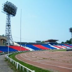
Lenin Stadium
166.2 km
Khingan Nature Reserve
184.9 km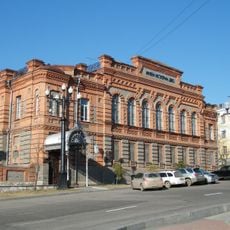
Far Eastern Military Museum
166.6 km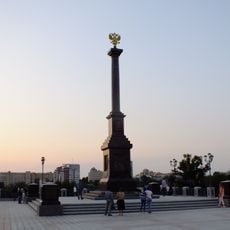
Monument to City of Military Glory
166.9 km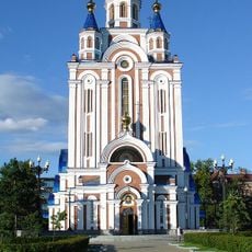
Dormition Cathedral, Khabarovsk
166.9 km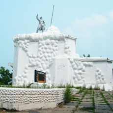
Volochaevsky Memorial
126.5 km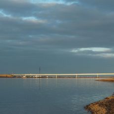
Мост через Амурскую протоку
152.5 km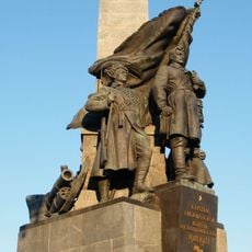
Алыҫ Көнсығышта Граждандар һуғышы геройҙары һәйкәле
166.9 km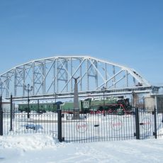
Музей Амурского моста
164.1 km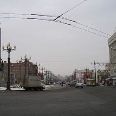
Muravyov-Amursky Street
167.4 km
Beit T'shuva
41.4 km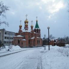
Saint Innocent Church, Khabarovsk
166.5 km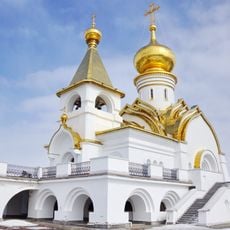
Saint Seraphim of Sarov church in Khabarovsk
166.3 km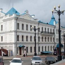
Far Eastern Art Museum
166.6 km
Хабаровский планетарий
166.5 km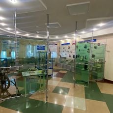
Музей истории пенсий
42.7 km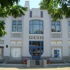
Youth Theatre Khabarovsk
167.1 km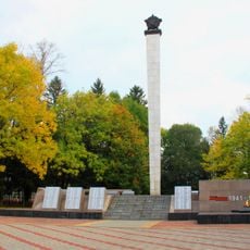
Victory Square
42.5 km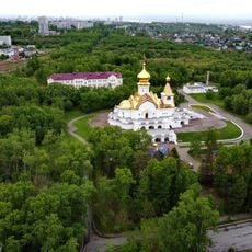
Park Severny, Khabarovsk
166.5 km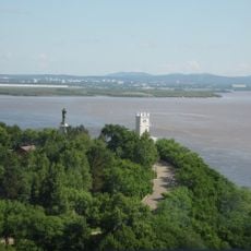
Muravyov-Amursky Park, Khabarovsk
166.7 km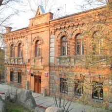
Khabarovsk Archaeology Museum
166.8 km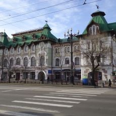
City Duma Building (Khabarovsk)
167.4 km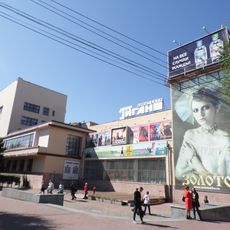
Kinoteatr Gigant
167.5 km
Kinoteatr Khabarovsk
166 kmReviews
Visited this place? Tap the stars to rate it and share your experience / photos with the community! Try now! You can cancel it anytime.

Discover hidden gems everywhere you go!
From secret cafés to breathtaking viewpoints, skip the crowded tourist spots and find places that match your style. Our app makes it easy with voice search, smart filtering, route optimization, and insider tips from travelers worldwide. Download now for the complete mobile experience.

A unique approach to discovering new places❞
— Le Figaro
All the places worth exploring❞
— France Info
A tailor-made excursion in just a few clicks❞
— 20 Minutes