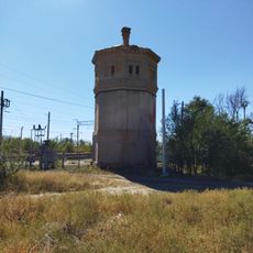
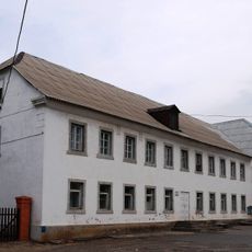
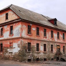
Наримановское сельское поселение, human settlement in Svetloyarsky District, Volgograd Oblast, Russia
The community of curious travelers
AroundUs brings together thousands of curated places, local tips, and hidden gems, enriched daily by 60,000 contributors worldwide.
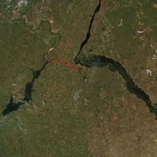
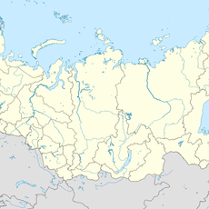
Location
Inception
May 14, 2005
Capital city
Nariman
GPS coordinates
48.48167,44.21695
Latest update
March 14, 2025 18:42