
Rödbo 44:1, stone setting in Gothenburg Municipality, Västra Götaland County, Sweden
Location: Gothenburg Municipality
GPS coordinates: 57.82693,11.95614
Latest update: April 29, 2025 06:46
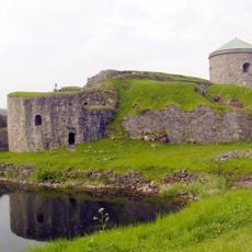
Bohus Fortress
4.7 km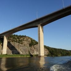
Angeredsbron
4.6 km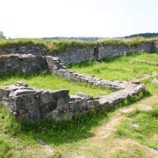
Ragnhildsholmen
2.3 km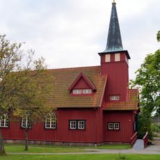
Kärra
4.3 km
Ormo skärmanläggning
3.6 km
Jordfallsbron
4.5 km
Nordreälvsbron
4.4 km
Ytterby gamla kyrka
3.6 km
Villa Ellesbo
2.9 km
Kastellegården
3 km
Rödbo Church
4 km
Kungälv city hall
4.8 km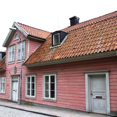
Uddmanska huset
4.9 km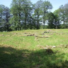
Kastala kloster
3 km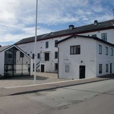
Surte glasbruksmuseum
3.4 km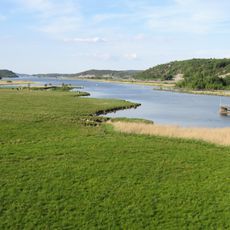
Göta och Nordre älvs dalgång
2.7 km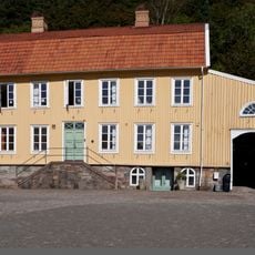
Strandska huset
4.9 km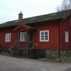
Schwartzska huset
4.8 km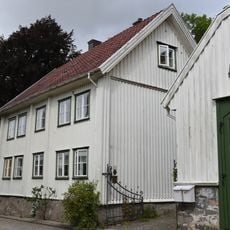
Thorildska huset
4.9 km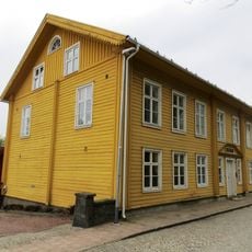
Zetterlöfska huset
4.8 km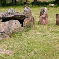
Drottning Hackas Grav
4 km
Göddered-Hakered
3.2 km
Lundholmska huset
4.9 km
Trappan
5.1 km
Säve 135:1
2.5 km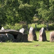
Drottning Hackas grav
4 km
Borres slott
1.4 km
Kastalakyrkan
4.7 kmReviews
Visited this place? Tap the stars to rate it and share your experience / photos with the community! Try now! You can cancel it anytime.
Discover hidden gems everywhere you go!
From secret cafés to breathtaking viewpoints, skip the crowded tourist spots and find places that match your style. Our app makes it easy with voice search, smart filtering, route optimization, and insider tips from travelers worldwide. Download now for the complete mobile experience.

A unique approach to discovering new places❞
— Le Figaro
All the places worth exploring❞
— France Info
A tailor-made excursion in just a few clicks❞
— 20 Minutes