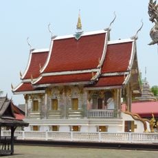
Mae Wang, Administrative district in Chiang Mai, Thailand.
Mae Wang is an administrative district in Chiang Mai spanning diverse terrain from river valleys to mountain slopes of the Thanon Thong Chai Range. The area divides into five sub-districts containing 62 villages, with Ban Kat functioning as the main administrative center.
The area gained official district status on September 7, 1995, following its separation from San Pa Tong in 1990. This division established the four initial sub-districts that formed the new administrative unit.
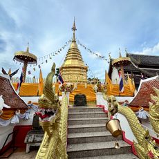
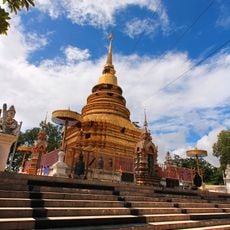
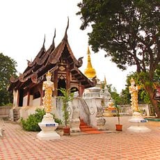
Different ethnic groups shape the area: Thai communities occupy the lowlands, while Karen, Hmong, and Akha peoples practice their traditions in the mountains. This mix of peoples gives the region its varied character and local identity.
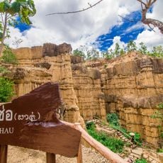
The best time to visit is during cooler months when the mountain areas are more pleasant to explore. Visitors should expect varying terrain and higher elevations that require sturdy footwear and adequate preparation.
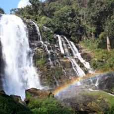
The Mae Wang River system sustains extensive rice farming through multiple weirs, while Thailand's highest educational institution stands in Khun Wang at the upper elevations. These two features show how water and altitude shape life in the district in contrasting ways.
The community of curious travelers
AroundUs brings together thousands of curated places, local tips, and hidden gems, enriched daily by 60,000 contributors worldwide.