Nam Tok Wang Sa-Duean, Wasserfall in Thailand
Location: Nakhon Ratchasima
Elevation above the sea: 376 m
GPS coordinates: 14.28194,102.38250
Latest update: June 8, 2025 18:46
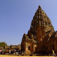
Phanom Rung historical park
66.4 km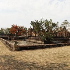
Prasat Muang Tam
68.9 km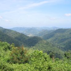
Dong Phayayen-Khao Yai Forest Complex
36.3 km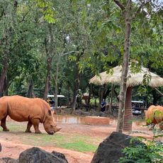
Nakhon Ratchasima Zoo
71.4 km
Thap Lan National Park
51 km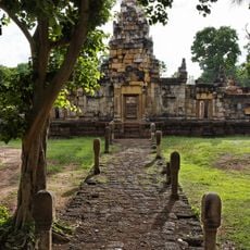
Sdok Kok Thom
62 km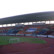
80th Birthday Stadium
80.3 km
Pang Sida National Park
26.1 km
Nong Samet Refugee Camp
62.8 km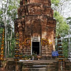
Prasat Khao Noi
79.4 km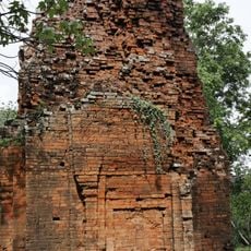
Ta Phraya National Park
52.7 km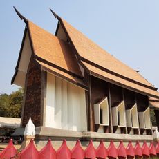
Wat Sala Loi
82.9 km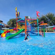
Korat Zoo Lagoon
70.8 km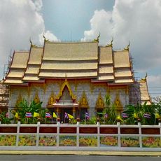
Wat Phayap
83.3 km
Thailand-Cambodia Friendship Bridge
71.4 km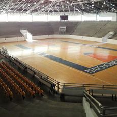
Korat Chatchai Hall
80.3 km
Jim Thompson Farm
68.5 km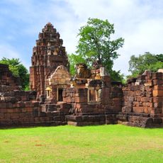
Kuti Ruesi - 2
68.5 km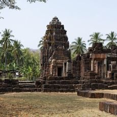
Kuti Reussi n°1 (Ban Nong Bea Lai)
68.4 km
Lalu
34.9 km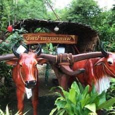
วัดป่าหลวงปู่หมุน
52.2 km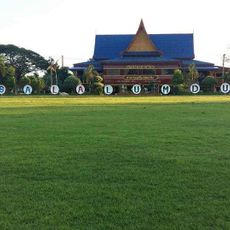
Wat Sala Lamduan
60.5 km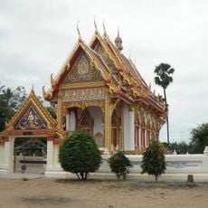
Wat Hua Saphan
81.9 km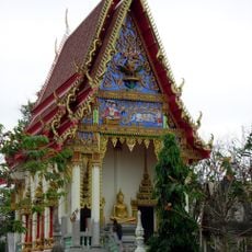
Wat Prasat Burapharam
69.1 km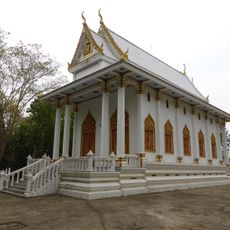
Wat Khao Wong
79.8 km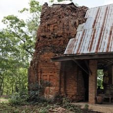
Prasat Khao Lon
42.1 km
Wat Trai Siri Monkhon
49 km
Prang Pha Kho
51.5 kmReviews
Visited this place? Tap the stars to rate it and share your experience / photos with the community! Try now! You can cancel it anytime.
Discover hidden gems everywhere you go!
From secret cafés to breathtaking viewpoints, skip the crowded tourist spots and find places that match your style. Our app makes it easy with voice search, smart filtering, route optimization, and insider tips from travelers worldwide. Download now for the complete mobile experience.

A unique approach to discovering new places❞
— Le Figaro
All the places worth exploring❞
— France Info
A tailor-made excursion in just a few clicks❞
— 20 Minutes