
Esendoğdu Tepesi, Berggipfel in der Türkei
Location: Karabük Province
Elevation above the sea: 1,086 m
GPS coordinates: 41.17920,32.72920
Latest update: March 17, 2025 09:20
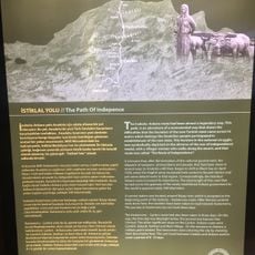
İstiklâl Yolu Tarihî Millî Parkı
96.1 km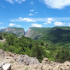
Valla Canyon
68.7 km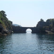
Kemere Bridge
69.8 km
Küre Mountains National Park
64.4 km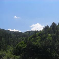
Mount Ilgaz National Park
91.1 km
Nasrullah Mosque
90.2 km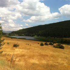
Çamkoru Nature Park
69 km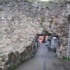
Amasra Castle
69.6 km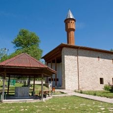
Mahmut Bey Mosque
86.9 km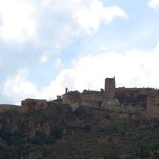
Kastamonu Castle
89.7 km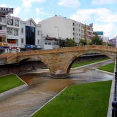
Nasrullah Bridge
90.3 km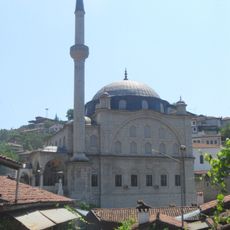
İzzet Mehmet Pasha Mosque
8.5 km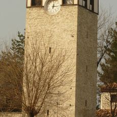
Safranbolu Clock Tower
8.1 km
Kastamonu Governor's Office
90.5 km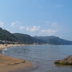
İnkumu
68.6 km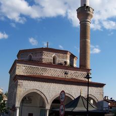
Kazdağlı Mosque
8 km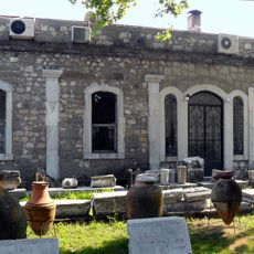
Amasra Museum
69.5 km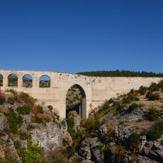
İncekaya Aqueduct
12.1 km
Camlidere Nature and Animal Museum
79.5 km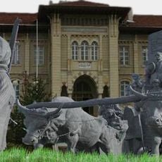
Atatürk and Şerife Bacı Monument
90.4 km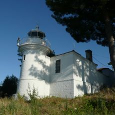
Phare de Kerempe
105.3 km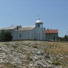
Amasra Lighthouse
70.1 km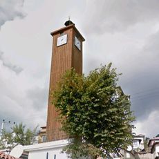
Gerede Clock Tower
61.4 km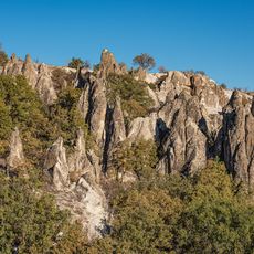
Abacı Peribacaları
94.6 km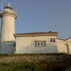
Zonguldak Lighthouse
84.9 km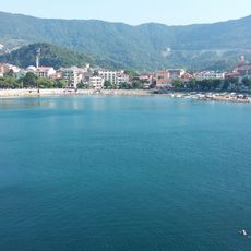
Büyük Liman Plajı
69.3 km
Beyazıt Mosque
106.4 km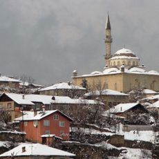
City of Safranbolu
9.6 kmReviews
Visited this place? Tap the stars to rate it and share your experience / photos with the community! Try now! You can cancel it anytime.
Discover hidden gems everywhere you go!
From secret cafés to breathtaking viewpoints, skip the crowded tourist spots and find places that match your style. Our app makes it easy with voice search, smart filtering, route optimization, and insider tips from travelers worldwide. Download now for the complete mobile experience.

A unique approach to discovering new places❞
— Le Figaro
All the places worth exploring❞
— France Info
A tailor-made excursion in just a few clicks❞
— 20 Minutes