
Shitan, rural township of Taiwan
Location: Miaoli County
Elevation above the sea: 414 m
Website: https://www.stan.gov.tw/
Shares border with: Zaoqiao, Touwu, Gongguan, Dahu, Nanzhuang, Tai-an, Sanwan
Website: https://stan.gov.tw
GPS coordinates: 24.52340,120.92300
Latest update: March 14, 2025 17:01


Miaoli County Council
9.7 km
Yuqing Temple
10.8 km
Dahu Fayun Temple
9.6 km
Taiwan Oil Field Exhibition Hall
9.8 km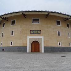
Hakka Round House
13.5 km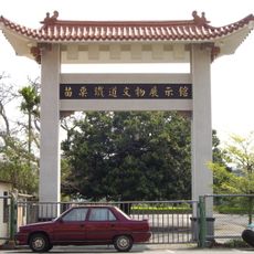
Miaoli Railway Museum
11.3 km
Xian Shan
3.3 km
Nayeli Mazu Temple
11.2 km
Miaoli Wenchang Temple
11.2 km
Xindong Bridge
10 km
Fangou Shrine
11.4 km
Gongguan Wugu Temple
10 km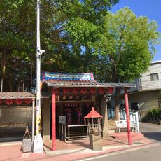
Gonguan Fubo Temple
10.2 km
Hsin-lien Temple
13.2 km
Tongluo Mazu Temple
14 km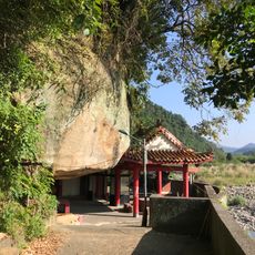
Dawukeng Stone Man Temple
11.4 km
Gongguan Couple Tree
9.6 km
Former Nanzhuang Post Office
11.5 km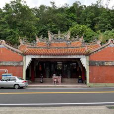
Tianmei Yonghe Temple
14.5 km
Shangrila Paradise
13.9 km
Miaoli Ceramics Museum
10.3 km
向天湖部落 苗栗縣賽夏族民俗文物館
13 km
Museum of Saisiat Folklore
13.1 km
Wu Zhuo-liu Art and Cultural Hall
15.5 km
Miaoli County Hall
11.3 km
Walo Cultural Property Museum
14.6 km
Maibagah
13.6 km
Xiangtianhu bus shelter
13 kmReviews
Visited this place? Tap the stars to rate it and share your experience / photos with the community! Try now! You can cancel it anytime.
Discover hidden gems everywhere you go!
From secret cafés to breathtaking viewpoints, skip the crowded tourist spots and find places that match your style. Our app makes it easy with voice search, smart filtering, route optimization, and insider tips from travelers worldwide. Download now for the complete mobile experience.

A unique approach to discovering new places❞
— Le Figaro
All the places worth exploring❞
— France Info
A tailor-made excursion in just a few clicks❞
— 20 Minutes