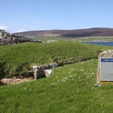
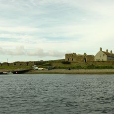
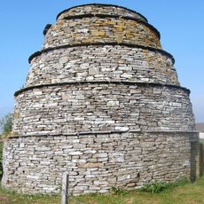
Midhowe Broch, Iron Age settlement on Rousay Island, Scotland.
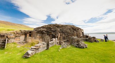
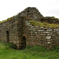
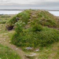
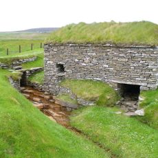
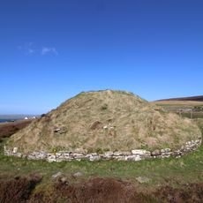
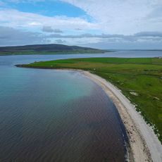
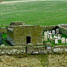
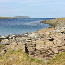
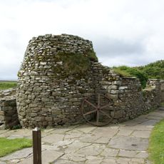
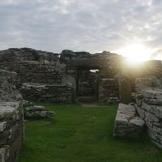
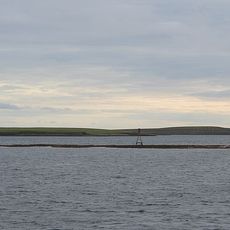
Midhowe Broch is an Iron Age stone tower built on a coastal promontory on the island of Rousay in the Orkney Islands. The walls are several meters thick and still stand over 4 meters high, flanked by a deep ditch and an outer stone wall that controlled access to the promontory.
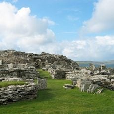
The broch was built during the Iron Age and remained in use into the Roman period, a span confirmed by bronze objects found among the ruins. Excavations carried out in the 1930s brought stone tools and bone implements to light, showing that the site served its occupants across several generations.
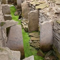
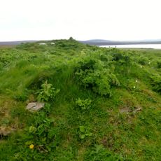
Inside the broch, stone hearths with fitted sockets show how cooking was done within a compact round tower, with residents sharing a communal water source fed by a natural spring. The layout suggests a tightly organised domestic life within the thick stone walls.
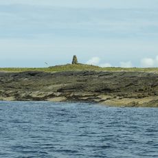
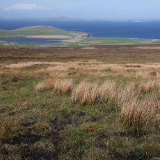
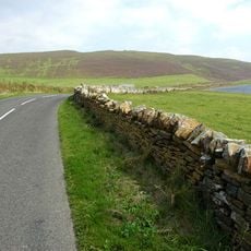
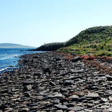
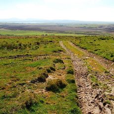
The site is open throughout the year and sits right on the coast, offering broad views over the sea and the nearby islands. Weather on Orkney can change quickly, so warm, windproof clothing and sturdy footwear are a good idea whatever the season.
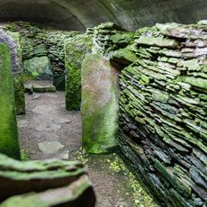
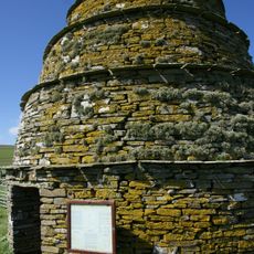
The name Midhowe comes from Old Norse and means roughly "middle mound", as this broch was once the middle one among three similar towers in the same valley. The second part of the name derives from the Old Norse word haugr, which could refer to a hill or a burial mound.
The community of curious travelers
AroundUs brings together thousands of curated places, local tips, and hidden gems, enriched daily by 60,000 contributors worldwide.