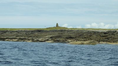
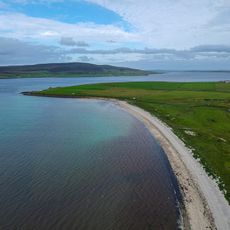
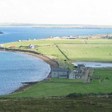
Kili Holm, Tidal island in Orkney Islands, United Kingdom.
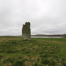
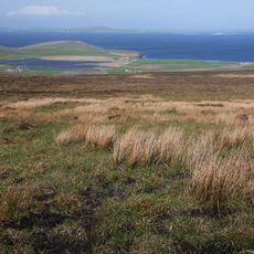
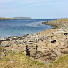
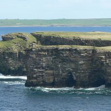
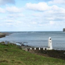
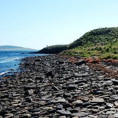
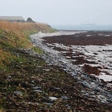
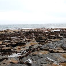
Kili Holm is a tidal island in the Orkney Islands that connects to neighboring Egilsay through Smithy Sound during low tide. The island displays red sandstone formations and distinctive headlands called Point of Ridden and Point of Pitten.
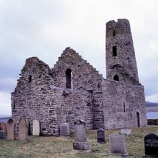
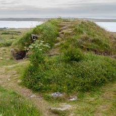
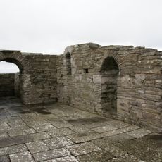
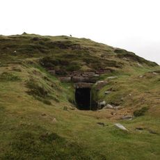
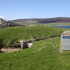
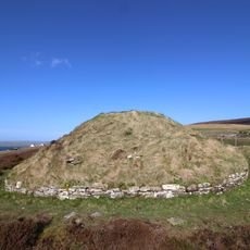
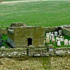
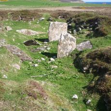
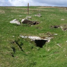
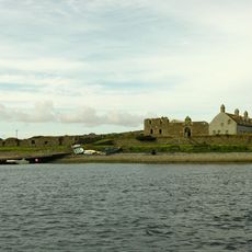
Archaeological remains on the island include an ancient cairn, evidence of early human settlement and potential links to religious communities. This suggests the island held significance for settlers in prehistoric and early medieval times.
The name suggests connections to early monastic communities, with 'Kili' possibly deriving from the Gaelic word 'cille', meaning a monk's cell. Local place names on the island reflect these ancient religious associations.
Access depends entirely on tide times, as the crossing through Smithy Sound is only possible during low tide. Visitors should check tide tables beforehand and wear sturdy footwear for walking across the exposed seabed.
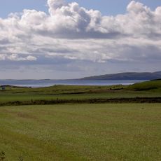
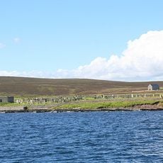
The island serves as grazing land for sheep while hosting nesting seabirds along its shores year-round. This mix of agricultural and natural uses creates a layered landscape where pastoral and wild species coexist.
Location: Orkney Islands
Part of: Orkney Islands
GPS coordinates: 59.18333,-2.91667
Latest update: December 14, 2025 13:08
Midhowe Chambered Cairn
10.8 km
Broch of Gurness
11.5 km
Midhowe Broch
10.9 km
St Magnus Church
3.1 km
Knowe of Swandro
10.8 km
Trumland House
7.4 km
Knowe of Yarso Chambered Cairn
9 km
Blackhammer Chambered Cairn
8.5 km
Westside Church
10.1 km
Chambered cairn on Vinquoy Hill
9.5 km
Cubbie Roo's Castle
7.9 km
Taversoe Tuick, chambered cairn and nearby remains
7.7 km
Sands of Evie
12.3 km
St Mary's Chapel
7.8 km
Stone of Setter, standing stone and enclosure, Eday
9.5 km
Loch of Wasbister crannog
8.2 km
Knowe of Skea
9.2 km
Carrick Farm,chambered cairn and cairn 500m SSW of
9.6 km
Knowe of Rowiegar
10.9 km
Cairns of the Calf of Eday
11.4 km
Huntersquoy
9.6 km
Calf of Eday light
10.6 km
Gairsay, Langskaill House
12.1 km
Eday Church, Eday
8.5 km
Ness of Woodwick, broch, 970m E of Lower Bisgarth
11.4 km
Stackel Brae,castle,Maltbarn,Eday
9.8 km
Eday, Carrick House
10.3 km
Warness Skerry
9.4 kmVisited this place? Tap the stars to rate it and share your experience / photos with the community! Try now! You can cancel it anytime.
Discover hidden gems everywhere you go!
From secret cafés to breathtaking viewpoints, skip the crowded tourist spots and find places that match your style. Our app makes it easy with voice search, smart filtering, route optimization, and insider tips from travelers worldwide. Download now for the complete mobile experience.
A unique approach to discovering new places❞
— Le Figaro
All the places worth exploring❞
— France Info
A tailor-made excursion in just a few clicks❞
— 20 Minutes