Oswestry, Market town in Shropshire, England
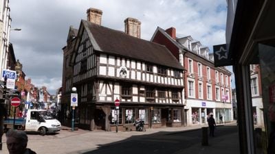
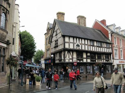
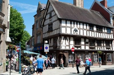
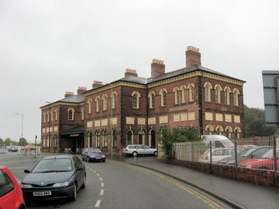
Oswestry is a market town in Shropshire that sits at the foot of the Berwyn Mountains and extends between two ancient earthworks, Wat's Dyke and Offa's Dyke. The centre is compact, with shops along the narrow Bailey Street and Church Street, which gather around an open marketplace.
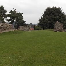
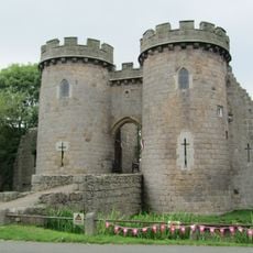
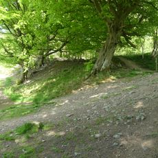
King Oswald of Northumbria died in 642 during the Battle of Maserfelth fought near this settlement, and the town carries his name. An Iron Age hill fort north of the centre bears witness to the military importance in pre-Roman times.
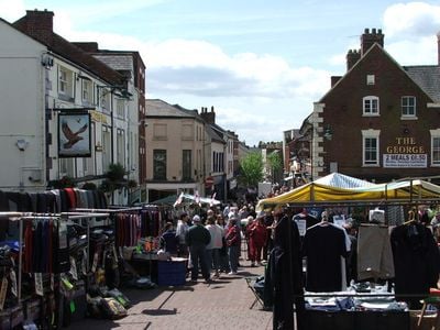
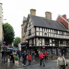
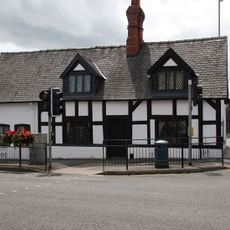
The market runs on Wednesdays, Fridays and Saturdays, with stalls selling produce like fruit, vegetables, meat and sometimes Welsh specialties. Around Church Street and Bailey Street, timber-framed buildings stand out, showing the heritage of this border region.
A Tourist Information Centre in the town centre provides details about nearby attractions, walking routes and events. The hill fort is reachable on foot from the centre, with the path rising over grassy slopes.
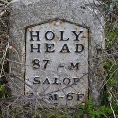
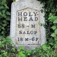
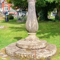
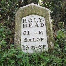
A fountain on the marketplace called Holbache Well is decorated with figures recalling the Welsh trading roots. In some lanes you can still find old boundary stones marking the shifting borders between England and Wales.
Location: Shropshire
Website: http://oswestry-tc.gov.uk
GPS coordinates: 52.85980,-3.05380
Latest update: December 4, 2025 23:04
Old Oswestry
1.4 km
Brogyntyn
1.9 km
Oswestry Castle
174 m
The Guildhall, Oswestry
131 m
Cambrian Railways works
530 m
Whittington Castle
3.7 km
Church of St Oswald
406 m
Church of Holy Trinity
293 m
Hermon Chapel
230 m
Llwyd Mansion
86 m
Bennion/Lewis Memorial Abutting East End Of Vestry Of Church Of St Oswald
406 m
Cambrian Railways Museum
212 m
Oswestry Library
157 m
War Memorial to the Staff of the Cambrian Railways
310 m
War Memorial
300 m
Offa's Dyke: section one mile 1000yds (2520m) long, N of Llanforda Mill
3.7 km
Oswestry South Signal Box
223 m
2, Lower Brook Street
472 m
Milestone At Ngr Sj 3020 3259
3.1 km
Milestone at NGR SJ 29997 31019
1.6 km
Ha-Ha To South And West Of Sweeney Hall Incorporating Non Conformist Cemetery At South West Corner
3.2 km
Boundary Stone Built Into Wall At Ngr Sj 2817 3029
1.2 km
Sundial Approximately 30 Metres South West Of Church Of St Oswald
455 m
Lamp Approximately 4 Metres West Of Tower Of Church Of St Oswald
429 m
Outbuilding And Attached Brick Wall In Courtyard To Rear Of Sweeney Hall
3.1 km
Barn Approximately 40 Metres East Of Sweeney Hall
3.1 km
Milestone At Ngr Sj 3154 2792
3 km
Fowl House/Dovecote Attached To North East Corner Of Sweeney Hall
3.1 kmVisited this place? Tap the stars to rate it and share your experience / photos with the community! Try now! You can cancel it anytime.
Discover hidden gems everywhere you go!
From secret cafés to breathtaking viewpoints, skip the crowded tourist spots and find places that match your style. Our app makes it easy with voice search, smart filtering, route optimization, and insider tips from travelers worldwide. Download now for the complete mobile experience.
A unique approach to discovering new places❞
— Le Figaro
All the places worth exploring❞
— France Info
A tailor-made excursion in just a few clicks❞
— 20 Minutes