Whalley, village and civil parish in Ribble Valley, Lancashire, UK
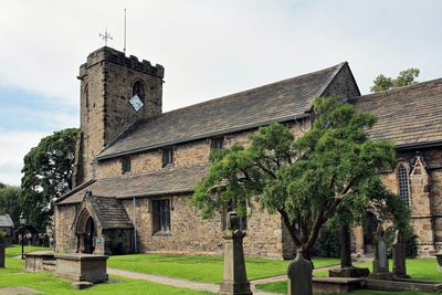
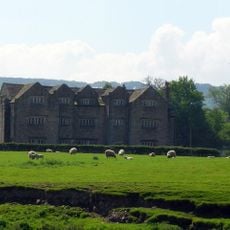
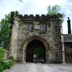
Whalley is a village and civil parish in the Ribble Valley, Lancashire, set beside the River Calder in the northwest of England. King Street runs through the center, lined with stone buildings, shops, pubs, and cafes, while the wooded hill of Whalley Nab rises sharply on one side of the settlement.
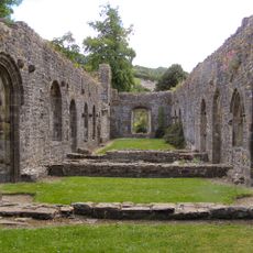
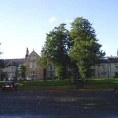
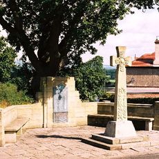
Whalley has been settled since at least the Iron Age, and excavations have uncovered evidence of a Roman camp in the area. The village became a religious center in the early 14th century when a Cistercian abbey was founded here, though it was dissolved and largely dismantled in the 16th century.
The name Whalley likely comes from Old English meaning 'field of wells', pointing to the natural springs that once shaped daily life here. Each December, locals gather for Pickwick Night, dressing in Victorian costumes and singing carols together in the village streets, a tradition that draws the whole community out into the open.
Whalley is easy to reach by train on the line between Clitheroe and Manchester, and road connections lead directly to the M6 and M65 motorways. Once there, the village center is compact and easy to walk, with the path up Whalley Nab accessible directly from the main street.
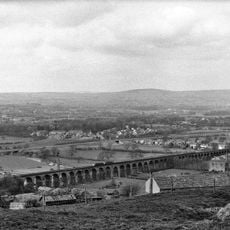
The railway viaduct crossing the River Calder was built in the mid-1800s, but two sections collapsed during construction and three workers lost their lives before it was finished. The completed structure, built in red brick, still carries trains today and can be seen clearly from the village below.
The community of curious travelers
AroundUs brings together thousands of curated places, local tips, and hidden gems, enriched daily by 60,000 contributors worldwide.