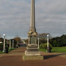
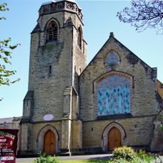
Southport, Coastal resort town in Merseyside, England.
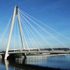
Southport is a coastal town in northern England that sits directly on the Irish Sea in Merseyside. The long sandy beach runs parallel to the promenade, while a cast-iron pier extends far into the water.
The town emerged in the late 1700s through private initiative as a bathing resort. After the railway arrived in the 1840s, the former village grew into a popular destination for holidaymakers from nearby industrial cities.
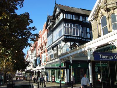
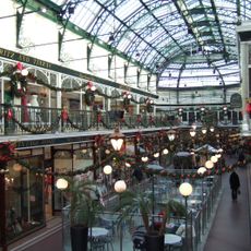
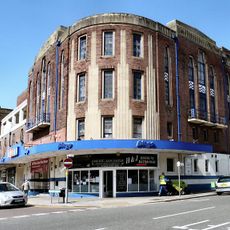
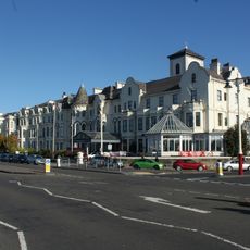
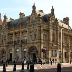
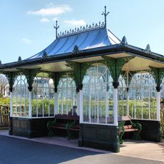
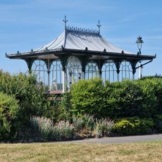
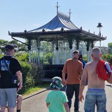
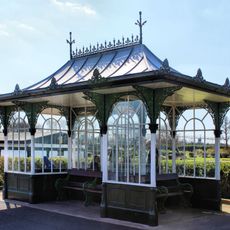
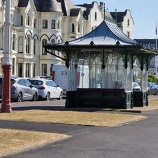
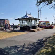
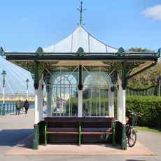
The main boulevard named Lord Street displays covered arcades from the 1800s, where shops and cafes now fill the ground floors. On summer weekends especially, families stroll along the wide pavements and take in the old seaside architecture.
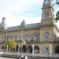
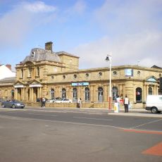
Most visitors arrive by train, with the railway station within walking distance of the main street and the beach. Those planning to walk along the pier should check opening status in advance, as it may close during high winds.
At low tide the sea retreats so far that the wet sand stretches for several hundred meters. This wide tidal zone attracts walkers and dogs, while wading birds search for food in the shallow pools.
Location: Sefton
GPS coordinates: 53.64694,-3.00806
Latest update: December 12, 2025 21:07
Atkinson Art Gallery and Library
103 m
Southport Town Hall
181 m
Southport Theatre
579 m
Marine Way Bridge
514 m
Kingsway
289 m
Wayfarers Arcade
195 m
Southport Model Railway Village
253 m
Southport War Memorial
310 m
Southport Arts Centre
139 m
Monumental Obelisk, Southport
202 m
St George's Church, Southport
481 m
Garrick Theatre, Southport
300 m
Monument Of Queen Victoria
371 m
Royal Clifton Hotel
138 m
Southport Library
111 m
Lord Street West United Reformed Church
478 m
Former Victoria Baths
412 m
Midland Bank
240 m
130 Lord Street
337 m
Shelter, Second In Series Of Five Ranging East West Round South End Of Marine Lake
312 m
Shelter, Third In Series Of Five Ranging East West Round South End Of Marine Lake
350 m
Shelter, Fourth In Series Of Five Ranging East West Round South End Of Marine Lake
399 m
Shelter, Fifth In Series Of Five Ranging East West Round South End Of Marine Lake
433 m
Shelter Opposite Number 30
255 m
Shelter Within Kings Gardens And South Marine Gardens Opposite Coronation Walk
253 m
Shelter, First In Series Of Five Ranging East West Round South End Of Marine Lake
288 m
367, Lord Street
294 m
Fernley Drinking Fountain, Southport
286 mVisited this place? Tap the stars to rate it and share your experience / photos with the community! Try now! You can cancel it anytime.
Discover hidden gems everywhere you go!
From secret cafés to breathtaking viewpoints, skip the crowded tourist spots and find places that match your style. Our app makes it easy with voice search, smart filtering, route optimization, and insider tips from travelers worldwide. Download now for the complete mobile experience.
A unique approach to discovering new places❞
— Le Figaro
All the places worth exploring❞
— France Info
A tailor-made excursion in just a few clicks❞
— 20 Minutes