River Dee, Protected river in North Wales.
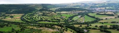
The River Dee flows through Wales and England, beginning in the mountains and ending where it meets the sea. The landscape around it includes woodlands, meadows, and rocky sections that shift in character as you travel downstream.
In medieval times, the river marked important territorial boundaries and held strategic significance for the surrounding regions. Its name comes from ancient languages spoken by early inhabitants, showing how deeply rooted human presence is here.
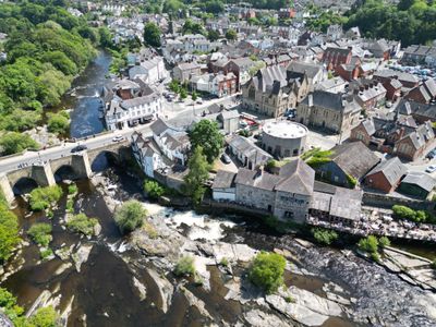
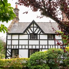
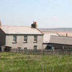
The valley communities have developed a way of life shaped by the river, with villages and farms nestled along its banks for centuries. Local people use the water for daily needs and maintain traditional practices that connect them to the land.
Several points along the river provide access for walking or viewing, though the paths can be uneven and muddy depending on weather. It's best to wear sturdy shoes and check conditions before visiting, especially if you plan to walk close to the water's edge.
Hidden beneath the landscape near the river are limestone caves that form an underground network rarely seen by visitors. These caverns reveal geological layers formed over millions of years, accessible only in specific locations along the valley.
Location: Gwynedd
Location: Denbighshire
Location: Wrexham County Borough
Location: Shropshire
Location: Cheshire West and Chester
Location: Flintshire
GPS coordinates: 53.35390,-3.22583
Latest update: December 14, 2025 21:14
Royal Liverpool Golf Club, Hoylake
4.2 km
Hilbre Island
2.5 km
Hilbre Island Lighthouse
3.3 km
St Bridget's Church, West Kirby
3.7 km
Hoylake and West Kirby War Memorial
4.1 km
Red Rocks
4.3 km
St Andrew's Church, West Kirby
3.6 km
Church of the Resurrection and All Saints, Caldy
4.1 km
Ashton Park
3.5 km
Coronation Gardens, West Kirby
3.2 km
Mariner's Beacon
4.1 km
Former Well House
4.3 km
Nook Cottage The Nook
3.9 km
Manor Farmhouse
4.2 km
Banks Farmhouse, Caldy
4.2 km
Caldy Manor
4.2 km
Dee Haven
4.2 km
West Kirby War Memorial
3.7 km
Buoy Master's House And Buoy Store
3.2 km
Telegraph Station
3.2 km
West Kirby Museum
3.7 km
Church Hall
4.2 km
Hoylake Lighthouse (folly)
4.1 km
Barclays Bank, West Kirby
3.5 km
Grange Beacon, Column Road, Hoylake
4.1 km
96, Caldy Road
4.2 km
Little Dene
4 km
Milepost, just S of Gourleys Lane
4.3 kmVisited this place? Tap the stars to rate it and share your experience / photos with the community! Try now! You can cancel it anytime.
Discover hidden gems everywhere you go!
From secret cafés to breathtaking viewpoints, skip the crowded tourist spots and find places that match your style. Our app makes it easy with voice search, smart filtering, route optimization, and insider tips from travelers worldwide. Download now for the complete mobile experience.
A unique approach to discovering new places❞
— Le Figaro
All the places worth exploring❞
— France Info
A tailor-made excursion in just a few clicks❞
— 20 Minutes