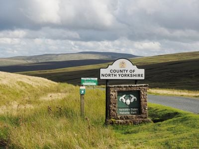
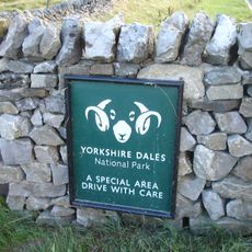
Yorkshire Dales, Natural region in North Yorkshire, England
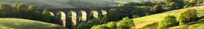
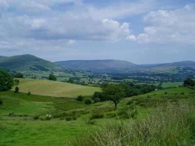
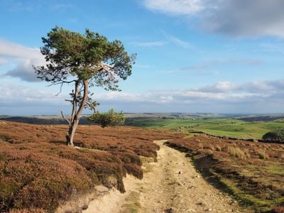
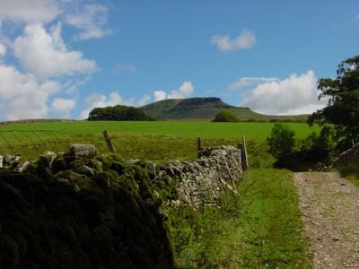
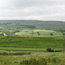
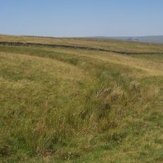
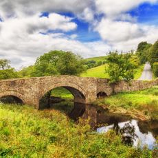
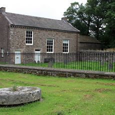
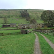
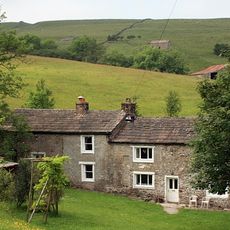
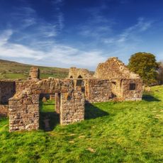
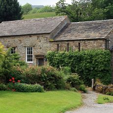
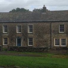
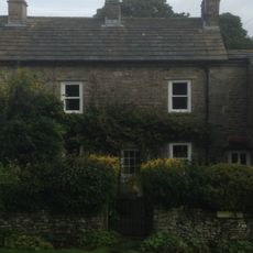
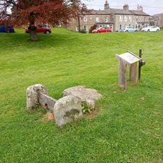
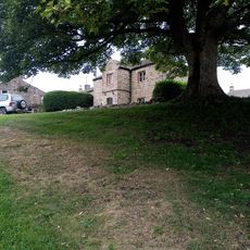
The Yorkshire Dales form a natural region in northern England, covering wide limestone landscapes with rolling hills, open moorland, and numerous valleys. The terrain shifts between green pastures, rocky slopes, and flat uplands crossed by low stone walls.
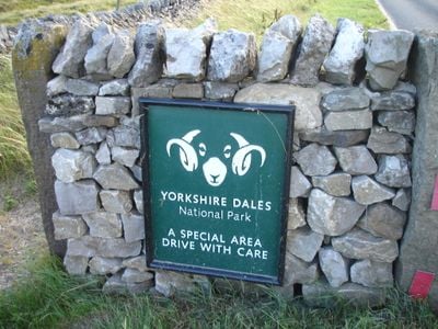
The region became a national park in 1954 after an official report highlighted the need to preserve this landscape for future generations. Since then, the area has been managed under set guidelines to balance nature and traditional farming.
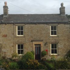
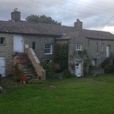
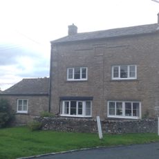
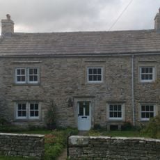
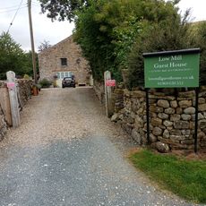
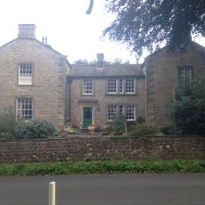
The farmers of Yorkshire Dales maintain traditional practices of sheep breeding and cattle rearing while adapting their properties to accommodate nature-oriented visitors.
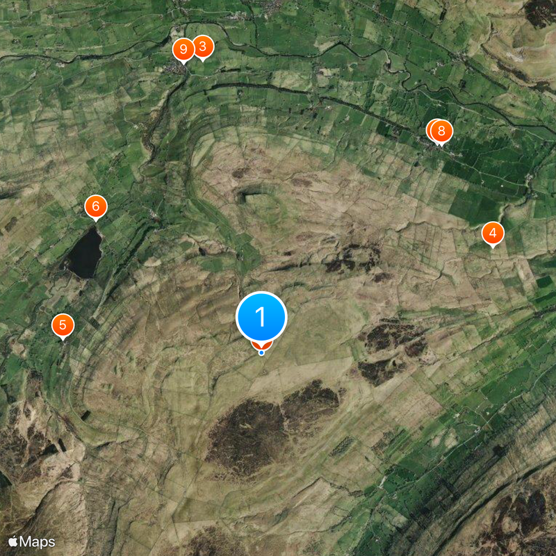
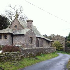
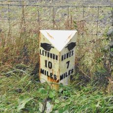
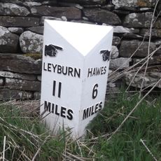
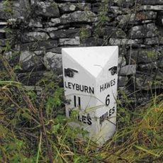
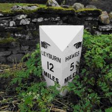
The area can be reached through several entry points, each offering access to different valleys and walking routes. Visitor centers in towns like Grassington and Hawes provide information on current conditions and routes for different skill levels.
Beneath the surface runs an extensive cave system stretching more than 85 kilometers through the limestone. These caves attract explorers and experienced climbers who descend into the hidden chambers.
Location: North Yorkshire
Inception: 1954
Shares border with: Bradford
GPS coordinates: 54.26667,-2.08333
Latest update: December 12, 2025 23:37
Photo license: CC BY-SA 2.0
Yorkshire Dales National Park
0 m
Bainbridge Roman fort and annexe
4.6 km
Castle Dykes Henge
3.9 km
St Matthew's Church, Stalling Busk
3.1 km
Semer Water Bridge
3.3 km
Post Office
4.2 km
East End Cottage And Attached Outbuildings
4.2 km
Bridge Over River Bain
4.6 km
Friends Meeting House
4.9 km
Bridge Approximately 100 Metres North-West Of Myers Garth
3 km
Countersett Hall
3.5 km
Rose And Crown Hotel
4.8 km
Ruins of Old Church of Saint Matthew
3.1 km
Mile Stone Approximately 100 Metres West Of Wauley Beck
4.8 km
Havenhurst
4.2 km
Manor House
4.1 km
Quaker Meeting House
3.6 km
Manor Farmhouse
4.2 km
Yoredale
4.2 km
K6 Telephone Kiosk Oppposite Manor Farm House
4.2 km
Stocks
4.7 km
Greens View
4.7 km
Mile Post Approximately 300 Metres East Of Victoria Arms Public House
4.4 km
Low Mill
4.8 km
Thornton Hall
4.1 km
Manor House
4.8 km
Milestone, Worton
4.4 km
Milestone, between Worton and Bainbridge
4.3 kmVisited this place? Tap the stars to rate it and share your experience / photos with the community! Try now! You can cancel it anytime.
Discover hidden gems everywhere you go!
From secret cafés to breathtaking viewpoints, skip the crowded tourist spots and find places that match your style. Our app makes it easy with voice search, smart filtering, route optimization, and insider tips from travelers worldwide. Download now for the complete mobile experience.
A unique approach to discovering new places❞
— Le Figaro
All the places worth exploring❞
— France Info
A tailor-made excursion in just a few clicks❞
— 20 Minutes