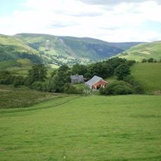
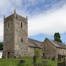
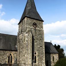
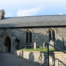
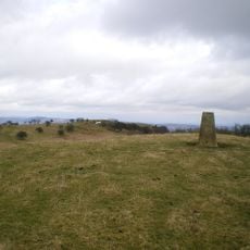
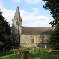
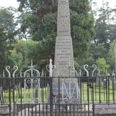
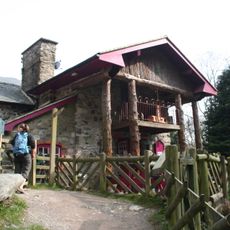
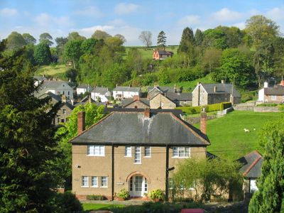
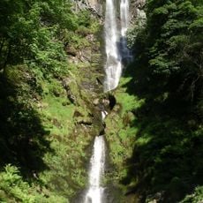
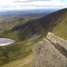
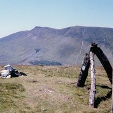
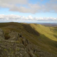
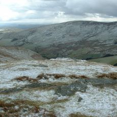
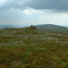
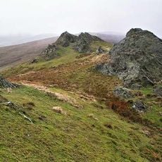
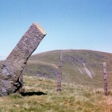
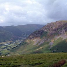
Llanrhaeadr-ym-Mochnant, village in Powys, Wales
Location: Powys
Website: http://llanrhaeadrymmochnant.wales
GPS coordinates: 52.83000,-3.30000
Latest update: April 21, 2025 09:09
Pistyll Rhaeadr
6 km
Cadair Berwyn
7.8 km
Moel Sych
7.9 km
Godor
5.1 km
Tomle
8 km
Glas Hirfryn
4.4 km
Cyrniau Nod
7.9 km
Cadair Berwyn North Top
7.8 km
Mynydd Tarw
6 km
Foel Wen
7.3 km
Post Gwyn
8.1 km
Foel Wen South Top
6.8 km
Maen Gwynedd
2.8 km
Capel Seion
599 m
Craig Rhiwarth
6.7 km
Mynydd Mawr
2.1 km
Ffordd Gefn [Bryn Gwyn]
9.6 km
Moel Hen-fache
2.2 km
Church Of St Dogfan
611 m
Parish Church of St Thomas
4.5 km
Church of St Cynog
7.2 km
Mynydd y Glyn
5.2 km
St Garmon's Church
7 km
Capel Hermon
3.4 km
Parish War Memorial at St Dogfan's Church with surrounding railed enclosure.
586 m
Rhos-y-Beddau Stone Circle, Avenue and Cairn
6.9 km
Wynnstay Arms
561 m
Tan y Pistyll Restaurant
5.8 kmReviews
Visited this place? Tap the stars to rate it and share your experience / photos with the community! Try now! You can cancel it anytime.
Discover hidden gems everywhere you go!
From secret cafés to breathtaking viewpoints, skip the crowded tourist spots and find places that match your style. Our app makes it easy with voice search, smart filtering, route optimization, and insider tips from travelers worldwide. Download now for the complete mobile experience.
A unique approach to discovering new places❞
— Le Figaro
All the places worth exploring❞
— France Info
A tailor-made excursion in just a few clicks❞
— 20 Minutes