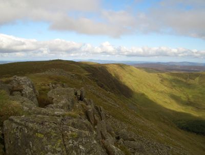
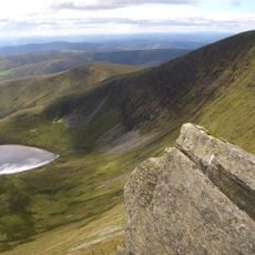
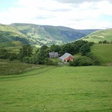
Cadair Berwyn North Top, Mountain summit in Llanrhaeadr-ym-Mochnant, Wales.
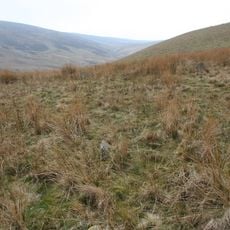
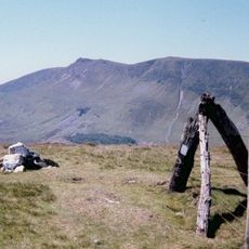
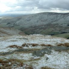
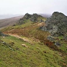
Cadair Berwyn North Top is a mountain peak in the Berwyn range of northeastern Wales, reaching approximately 827 meters in elevation. The eastern slopes drop steeply, creating a dramatic profile visible across the surrounding moorland and valleys.
A Boeing B-17E Flying Fortress from the United States crashed on the mountain slopes during World War II in August 1942, killing several crew members. This wartime tragedy left a lasting mark on the local landscape and memory.
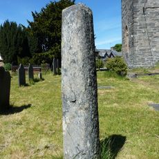
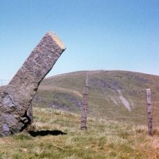
This mountain holds significance as a traditional boundary marker in the Welsh landscape between historic regions. Bronze Age burial sites near the summit reveal that people have recognized this peak as an important place for thousands of years.
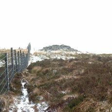
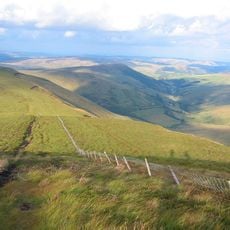
Hikers can reach the summit by following marked trails from the village of Llanrhaeadr-ym-Mochnant, where local supplies and navigation aids are available. The terrain is exposed and rugged, so proper gear and preparation for changeable weather are essential for a safe visit.
The peak was remeasured in 1987 by surveyor Bernard Wright, who found that its actual elevation differed from previous records. This discovery illustrates how modern surveying techniques revealed details that earlier measurements had missed.
The community of curious travelers
AroundUs brings together thousands of curated places, local tips, and hidden gems, enriched daily by 60,000 contributors worldwide.


![Cefn Perfedd [Pen y Lladron]](https://img7.digsty.com/RQK83BZN9eajy1JH2WPElQOd97XeLEX2wbZw__6OZTM/rs:fill:230:230:1/g:fp:0.5:0.5/czM6Ly9hcm91bmR1cy8xNC8xMjk1NzUxMi0zZThlZTg4ZS5qcGc.jpg)