South Downs Way, National hiking trail in Hampshire, England
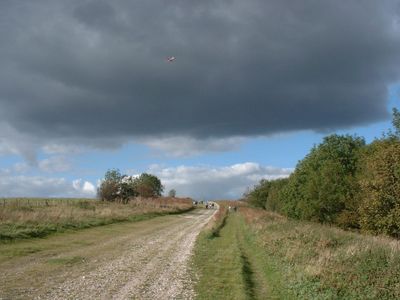
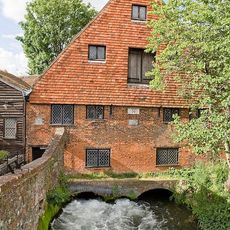
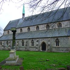
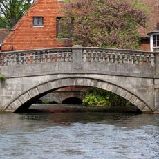
The South Downs Way is a long-distance footpath in Hampshire and neighboring counties that runs 160 kilometers from Winchester to Eastbourne. It follows open ridges along chalk formations with occasional views toward the coast and offshore islands.
The route follows trading paths and droveways that merchants and farmers used for centuries to move goods and livestock across the southern chalk ridges. It was officially designated as a National Trail in 1972.
The name refers to the rolling chalk hills that shepherds and travelers crossed for generations. Today walkers follow the same high ground where sheep graze and old field boundaries mark the land.
Experienced cyclists complete the full distance in around three days, while walkers typically spend eight to nine days covering 19 to 24 kilometers (12 to 15 miles) daily. Open sections offer little shade, so sun protection and enough water are recommended.
The total elevation change reaches 3,800 meters (12,467 feet) spread across the full distance, exceeding many alpine hikes. The route crosses five nature reserves where rare chalk grassland supports plants and insects found in few other places.
Location: Hampshire
Operator: National Trails
Website: https://nationaltrail.co.uk/en_GB/trails/south-downs-way
GPS coordinates: 51.06300,-1.30700
Latest update: December 20, 2025 11:58
Winchester Cathedral
511 m
Wolvesey Castle
476 m
Winchester Guildhall
305 m
Winchester City Mill
216 m
Church of the Holy Trinity
361 m
St Maurice's Church, Winchester
413 m
Church of St John the Baptist
88 m
St Peter's Church, Chesil, Winchester
323 m
Statue of Alfred the Great
241 m
St John's Rooms And Chapel
237 m
The First In And Last Out Public House
300 m
Old Chesil Rectory
256 m
12, Chesil Street
301 m
Chesil Street multi-storey car park
318 m
City Bridge
230 m
The Rising Sun Public House
232 m
Tudor House
133 m
Abbey House
290 m
28, High Street
479 m
30-41, High Street
518 m
26 And 27, High Street
470 m
Friends' Meeting House
379 m
29, High Street
488 m
St John's Almshouses
185 m
Garden Wall Of St John's Croft
95 m
41, North Walls
319 m
Wall on River Running Behind Nos 4 to 12
297 m
The Old Blue Boar
56 mVisited this place? Tap the stars to rate it and share your experience / photos with the community! Try now! You can cancel it anytime.
Discover hidden gems everywhere you go!
From secret cafés to breathtaking viewpoints, skip the crowded tourist spots and find places that match your style. Our app makes it easy with voice search, smart filtering, route optimization, and insider tips from travelers worldwide. Download now for the complete mobile experience.
A unique approach to discovering new places❞
— Le Figaro
All the places worth exploring❞
— France Info
A tailor-made excursion in just a few clicks❞
— 20 Minutes