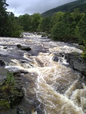
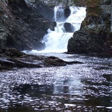
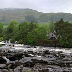
Falls of Dochart, Waterfall system in Killin, Scotland.
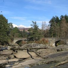
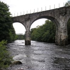
Falls of Dochart is a waterfall system in the Scottish village of Killin, where the water drops across multiple rocky ledges creating white cascades through the center of the settlement. The falls surround a small island in the river and form a striking water landscape visible from the nearby bridge.
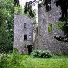
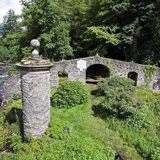
The MacNab clan established their burial ground on the island within the falls, anchoring the site to centuries of Highland family history. The Dochart Bridge was built in 1760 and has served as the main crossing point connecting the village ever since.
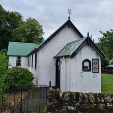
The waters here hold deep meaning for the local community as a natural focal point where the village gathers and connects with the landscape. People naturally pause at the railings to watch the current and feel the mist from below.
The falls are free to visit at any time with parking available near the bridge and throughout the village center. The rocks and banks can become slippery in wet conditions, so sturdy footwear helps if you want to get closer to the water.
After heavy rainfall or snowmelt the water volume increases dramatically and creates much stronger rapids visible from different spots around the village. This seasonal variation means no two visits are quite the same depending on recent weather.
The community of curious travelers
AroundUs brings together thousands of curated places, local tips, and hidden gems, enriched daily by 60,000 contributors worldwide.