Stanegate, Roman road between Corbridge and Carlisle in Cumbria and Northumberland, England
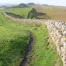
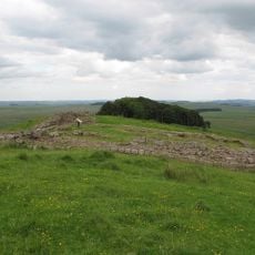
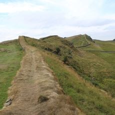
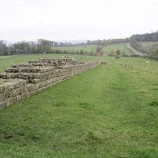
Stanegate is a Roman road that connected ancient settlements across northern England, running through valleys formed by the Tyne and Irthing rivers. The route followed natural terrain and was equipped with a series of forts that served as bases for Roman forces.
Stanegate was built between 77 and 85 AD under Governor Agricola to establish military control over northern England. It served as a key strategic route before Hadrian's Wall later became the primary defensive line.
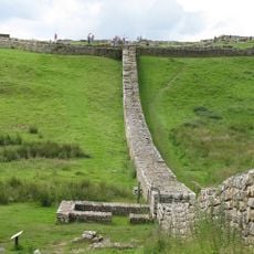
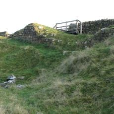
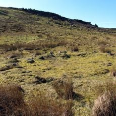
The name Stanegate comes from Northumbrian dialect and means stone road, showing how local language shaped the naming of Roman infrastructure. The way the road was built into the land reveals how Roman builders adapted to their surroundings rather than imposing a rigid design.
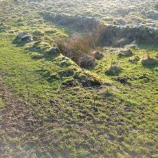
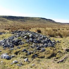
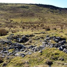
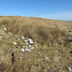
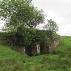
Visitors can explore remaining sections of the original Roman structure today, particularly at locations like Carling Gill and Potts Cleugh where ancient road cuttings are visible. It is advisable to wear comfortable shoes as many sections cross uneven terrain and lie in open countryside.
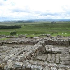
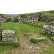
The road featured alternating larger and smaller forts positioned at one-day marching intervals, reflecting a practical approach to troop logistics. This layout shows how Roman planners adapted their designs to actual movement patterns of military forces.
The community of curious travelers
AroundUs brings together thousands of curated places, local tips, and hidden gems, enriched daily by 60,000 contributors worldwide.