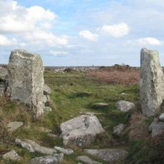
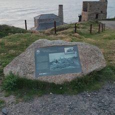
Pendeen Vau, Iron Age underground structure in Pendeen, England.
Pendeen Vau is an Iron Age underground structure that extends roughly 17 meters into the earth with a downward-sloping main passage featuring stepped roof slabs. The entrance opens into this tunnel system, which sits in what was once a settled area.
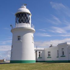
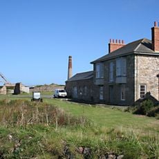
This underground structure dates to the late Bronze Age, roughly 3000 years ago, and was connected to a settlement that once stood near the present-day lighthouse. The construction shows how people created functional spaces beneath the earth during that period.
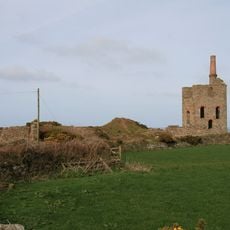
The site is connected to William Borlase, a scholar who grew up at the nearby manor and dedicated himself to studying Cornish archaeological structures. His work shaped how people understood these underground passages in the region.
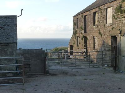
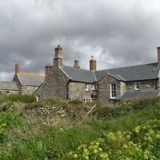
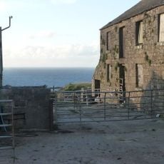
Access to this site requires permission from the owners of the nearby Pendeen Manor Farm. It is wise to arrange a visit beforehand and clarify the conditions for exploring the underground passages.
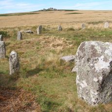
At the end of the main passage, the structure splits into two branches, with one showing signs of partial roof damage over the centuries. This branching reveals clues about how the spaces were originally used.
GPS coordinates: 50.16200,-5.66470
Latest update: December 14, 2025 18:15
Geevor Tin Mine
1.4 km
Levant Mine and Beam Engine
1.8 km
Pendeen Lighthouse
592 m
Chûn Castle
2.7 km
Chûn Quoit
2.4 km
Tregeseal East stone circle
3.2 km
Crown Mines
2.9 km
St Bridget's Church, Morvah
1.9 km
Botallack Manor House
3 km
Boswens Menhir
3.1 km
Tregeseal holed stones
3 km
Portheras Cove
511 m
The Queen's Arms Inn
3.1 km
Milestone 150M South-East Of Morvah Church
2 km
Church of St John the Baptist
1.3 km
The Crowns Engine Houses
2.9 km
Milestone Approximately 198M East Of Wheal Bal Farm
2.1 km
Pendeen Manor House Adjoining Wall To South East Of Pendeen Manor House
72 m
Milestone Approximately 15M North-East Of Chy Lowena Cottage
1.1 km
The Count House, Botallack Mine North West Of Botallack
3 km
Milestone At Sw397327
3.2 km
Guide Stone At Junction Of Pendeen And Trewellard Roads
2.4 km
Milestone 22M South-West Of Springs Bungalow
1.6 km
Guidepost Approximately 350M North-West Of Bosullow Cottage
3.2 km
Tin mine calciner at Botallack Mine
3.1 km
Levant Engine Houses
1.9 km
Higher Levant Mine
2 km
Wayside cross immediately north east of St John the Baptist's Church
1.3 kmVisited this place? Tap the stars to rate it and share your experience / photos with the community! Try now! You can cancel it anytime.
Discover hidden gems everywhere you go!
From secret cafés to breathtaking viewpoints, skip the crowded tourist spots and find places that match your style. Our app makes it easy with voice search, smart filtering, route optimization, and insider tips from travelers worldwide. Download now for the complete mobile experience.
A unique approach to discovering new places❞
— Le Figaro
All the places worth exploring❞
— France Info
A tailor-made excursion in just a few clicks❞
— 20 Minutes