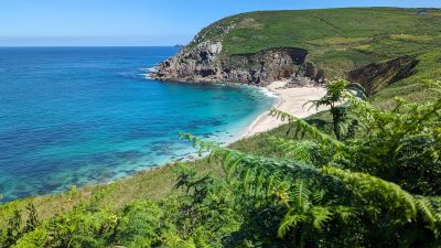
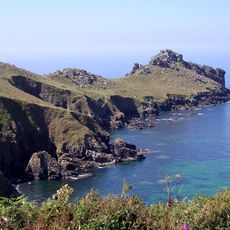
Portheras Cove, Sandy beach in Penwith Peninsula, Cornwall, United Kingdom.
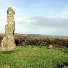
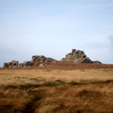
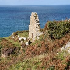
Portheras Cove is a sandy beach on the Cornish coast tucked between steep rocky cliffs with natural rock formations dotting the shoreline. The water is clear and inviting, while the remote setting creates a quiet retreat away from busier spots.
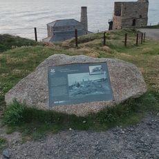
The beach became known after a 1963 shipwreck when a cargo vessel ran aground, leading to access restrictions that lasted several decades. The coastline has since developed into a quiet spot for visitors.
The beach sits within a Site of Special Scientific Interest area, where seals regularly visit the protected shoreline throughout the year.
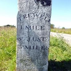
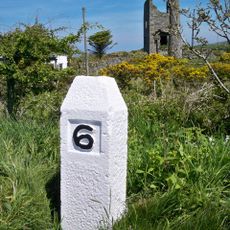
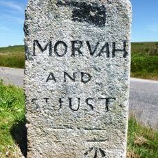
Reaching the beach requires a walk of about a mile from the nearest parking areas, with steep steps at the end leading down to the shore. Sturdy footwear and plenty of time are recommended for the descent and return trip.
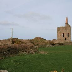
The land is managed by different owners - parts belong to a royal duchy while nearby farms control other sections. This shared stewardship has preserved the beach's quiet, undeveloped character.
Location: Cornwall and Isles of Scilly
Address: Portheras Cove, Pendeen, Penzance TR19 7TU, UK
GPS coordinates: 50.16425,-5.65846
Latest update: December 14, 2025 20:21
Geevor Tin Mine
1.9 km
Levant Mine and Beam Engine
2.4 km
Pendeen Lighthouse
940 m
Chûn Castle
2.5 km
Chûn Quoit
2.3 km
Tregeseal East stone circle
3.4 km
Aire Point to Carrick Du SSSI
2.7 km
Pendeen Vau
511 m
St Bridget's Church, Morvah
1.5 km
Boswens Menhir
3.1 km
Tregeseal holed stones
3.2 km
Milestone 150M South-East Of Morvah Church
1.6 km
Carn Galver Mine
3.3 km
Church of St John the Baptist
1.7 km
Engine House At Sw 42113646
3.4 km
The Crowns Engine Houses
3.4 km
Milestone Approximately 198M East Of Wheal Bal Farm
2.3 km
Milestone At Sw 41682 34555, 110M North-East Of Bosullow
3.1 km
Milestone Approximately 15M North-East Of Chy Lowena Cottage
1.3 km
Pendeen Manor House Adjoining Wall To South East Of Pendeen Manor House
524 m
Watermill near Bosigran Castle
3 km
Milestone At Sw397327
3.2 km
Guide Stone At Junction Of Pendeen And Trewellard Roads
2.4 km
Milestone 22M South-West Of Springs Bungalow
1.8 km
Levant Engine Houses
2.4 km
Guidepost Approximately 350M North-West Of Bosullow Cottage
2.8 km
Wayside cross immediately north east of St John the Baptist's Church
1.6 km
Higher Levant Mine
2.5 kmVisited this place? Tap the stars to rate it and share your experience / photos with the community! Try now! You can cancel it anytime.
Discover hidden gems everywhere you go!
From secret cafés to breathtaking viewpoints, skip the crowded tourist spots and find places that match your style. Our app makes it easy with voice search, smart filtering, route optimization, and insider tips from travelers worldwide. Download now for the complete mobile experience.
A unique approach to discovering new places❞
— Le Figaro
All the places worth exploring❞
— France Info
A tailor-made excursion in just a few clicks❞
— 20 Minutes