Finsbury Park, Grade II listed urban park in Harringay, England
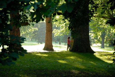
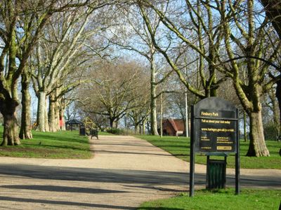
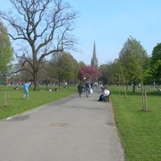
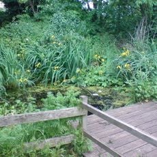
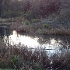
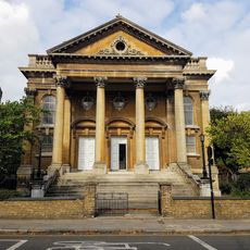
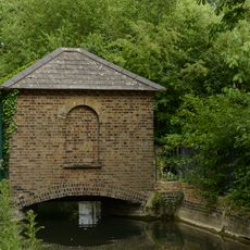
Finsbury Park is a Grade II listed public green space in the London Borough of Haringey, covering 110 acres with formal gardens, a boating lake and playing fields. Wide paths wind through mature trees and connect different areas with lawns, flower beds and open spaces for picnicking.
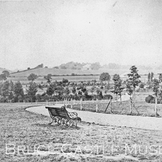
The park opened in 1869 to serve growing neighborhoods that lacked open air and recreation areas. Frederick Manable designed the layout following Victorian park principles, with separated zones for formal gardens and informal leisure.
The name comes from the word Finsbury, an area that historically lay south of the current site. Local runners and football players use the open fields regularly, while families gather near the playground on weekends.
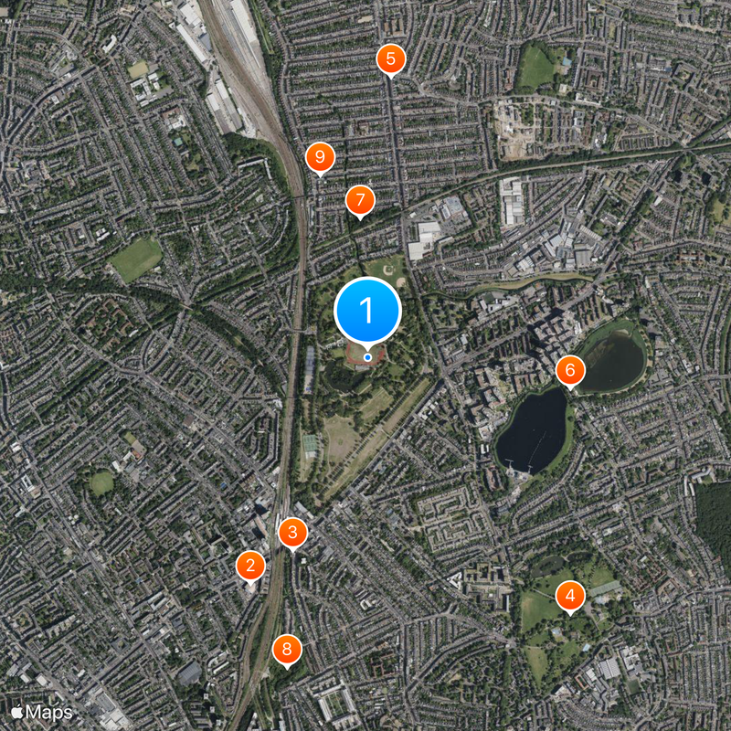
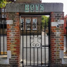
Several gates around the perimeter allow entry from different streets and neighborhoods. The tube station sits directly at the edge, while bus stops line the main roads near each entrance.
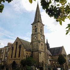
A small clock tower stands near the south entrance and originally served as a meeting point for park visitors in the 19th century. Runners and walkers still use it today as a landmark when crossing the grounds.
Location: London Borough of Haringey
Official opening: 1869
GPS coordinates: 51.57120,-0.10090
Latest update: December 5, 2025 16:34
Rainbow Theatre
1.1 km
Finsbury Park Mosque
909 m
Clissold Park
1.4 km
The Salisbury
1.2 km
Woodberry Wetlands
899 m
Railway Fields
613 m
Gillespie Park
1.4 km
St Paul's Church, Harringay
828 m
Skyline
788 m
Church of St Mellitus and Attached Presbytery
955 m
Church of St Mark with St Anne
1.2 km
Church of St Thomas and Attached Halls and Walls
1.3 km
Church of St Olave
501 m
66 And 68, Tollington Park
1.2 km
70 And 72, Tollington Park
1.2 km
St Saviour's Church
1.2 km
Engine House Of Metropolitan Water Board
879 m
Ancillary Building To North Of Engine House Of Metropolitan Water Board
845 m
127, Hanley Road
1 km
Gas House To West Of Reservoir
911 m
1 and 3, Crouch Hill
1 km
Post Office Pillar Box At East Corner Of King's Crescent
1.1 km
Elkins Brothers, Gentlemens Outfitters
744 m
Walls And Railings To Former Metropolitan Water Board Pumping Station; West Side Of Green Lanes From K2 Kiosk North For 15 Bays; East Side Of Green Lanes From Boundary With 212 Green Lanes North For 13 Bays
880 m
Church Hall, Church Of St Mark With St Anne
1.2 km
Ivy House Sluice
1.1 km
Harringay House
1.4 km
Woodstock Road School
526 mReviews
Visited this place? Tap the stars to rate it and share your experience / photos with the community! Try now! You can cancel it anytime.
Discover hidden gems everywhere you go!
From secret cafés to breathtaking viewpoints, skip the crowded tourist spots and find places that match your style. Our app makes it easy with voice search, smart filtering, route optimization, and insider tips from travelers worldwide. Download now for the complete mobile experience.
A unique approach to discovering new places❞
— Le Figaro
All the places worth exploring❞
— France Info
A tailor-made excursion in just a few clicks❞
— 20 Minutes