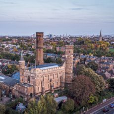
Woodberry Wetlands, Nature reserve in Hackney, United Kingdom.
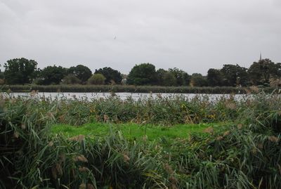
Woodberry Wetlands is a nature reserve in Hackney spanning several hectares with ponds bordered by reed beds and wooden walkways. The landscape features open water areas, shallow margins, and pathways that allow visitors to explore the wetland habitat closely.
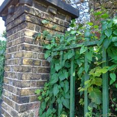
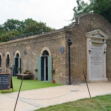
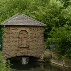
The site originated as an industrial water reservoir built in the 1800s to supply the city with fresh water. It was later repurposed as a public nature reserve, allowing natural habitats to flourish on what was once purely functional infrastructure.
The reserve serves as a space where visitors connect with wetland ecosystems through direct observation and hands-on nature experiences. Local communities gather here to appreciate birds and plants that depend on these water habitats.
Access is provided through marked paths and wooden boardwalks that are easy to navigate. Visitors should dress for changing weather, as the exposed location means conditions can shift quickly throughout the day.
The reserve has become a nesting ground for kingfishers and sand martins, birds that are drawn to the water edges and sandy banks. These species thrive in this restored habitat within the urban landscape.
Location: London Borough of Hackney
Website: http://woodberrywetlands.org.uk
GPS coordinates: 51.57000,-0.08806
Latest update: December 10, 2025 20:04
Finsbury Park
899 m
Abney Park Cemetery
893 m
Clissold Park
990 m
Abney Park Chapel
967 m
Old Church of St Mary
985 m
Stoke Newington Municipal Buildings And Surrounding Walls
998 m
Church of St Andrew, Hackney
543 m
Skyline
219 m
Clissold Park
998 m
Monument To Frank Bostock In Abney Park Cemetery
960 m
Monument To William Tyler In Abney Park Cemetery
992 m
Church of St Olave
411 m
130, Stoke Newington Church Street N16
1 km
Statue of Isaac Watts
1 km
Spreat Monument In Abney Park Cemetery
953 m
Monument To Joanna Vassa In Abney Park Cemetery
1 km
Stoke Newington Library
1 km
Engine House Of Metropolitan Water Board
605 m
Forecourt Wall To Church And Rectory Of St Mary
1 km
Ancillary Building To North Of Engine House Of Metropolitan Water Board
584 m
Tomb Of Anna Laetitia Barbauld, Churchyard Of Old Church Of St Mary
1 km
Tomb Of James Stephen, Churchyard Of Old Church Of St Mary
999 m
Post Office Pillar Box At East Corner Of King's Crescent
1 km
Walls And Railings To Former Metropolitan Water Board Pumping Station; West Side Of Green Lanes From K2 Kiosk North For 15 Bays; East Side Of Green Lanes From Boundary With 212 Green Lanes North For 13 Bays
654 m
Gas House To West Of Reservoir
14 m
Ivy House Sluice
408 m
K2 Telephone Kiosk Outside Number 281, Green Lanes
714 m
8, Lordship Road N16
990 mVisited this place? Tap the stars to rate it and share your experience / photos with the community! Try now! You can cancel it anytime.
Discover hidden gems everywhere you go!
From secret cafés to breathtaking viewpoints, skip the crowded tourist spots and find places that match your style. Our app makes it easy with voice search, smart filtering, route optimization, and insider tips from travelers worldwide. Download now for the complete mobile experience.
A unique approach to discovering new places❞
— Le Figaro
All the places worth exploring❞
— France Info
A tailor-made excursion in just a few clicks❞
— 20 Minutes