
Ingram, village and civil parish in Northumberland, United Kingdom

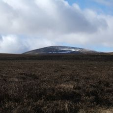
The Cheviot
11.4 km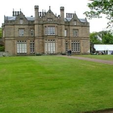
Lilburn Tower
7.9 km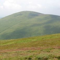
Hedgehope Hill
7.9 km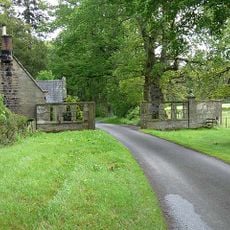
Eslington Park
5.1 km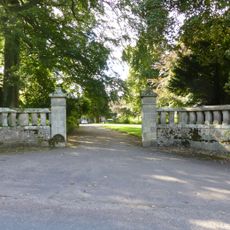
Hedgeley Hall
5.7 km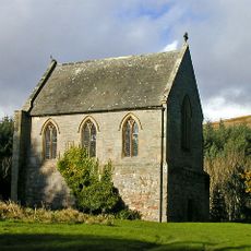
Biddlestone RC Chapel
10.1 km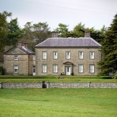
Roddam Hall
4.1 km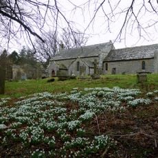
Church of St Michael, Alnham
6 km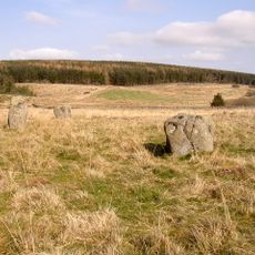
Stone circle and stone alignment 370m west of Threestoneburn House
6 km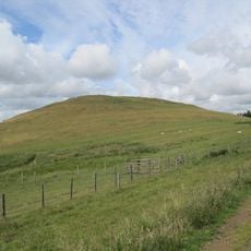
Clinch Castle
2.4 km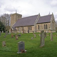
Church of St Michael
413 m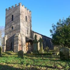
Church of St Michael
5.4 km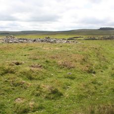
Round cairn cemetery 1000m north west of Heddon Hill
4.8 km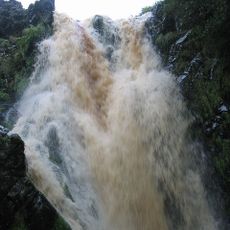
Linhope Spout
5.7 km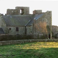
Crawley Tower With Cottage Inside
5.3 km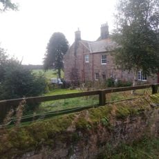
New Bewick Farmhouse
6.5 km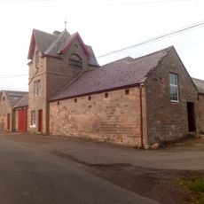
Farmbuildings North Of New Bewick Farmhouse
6.6 km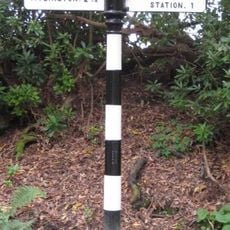
Guide Post On West Side Of Road Junction 400 Metres North Of Hedgeley Hall
5.9 km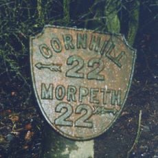
Milepost 580 Metres South East Of Powburn Post Office
5.3 km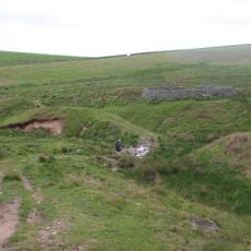
Sheepfold 200 Yards North Of Greensidehill
3.3 km
Brandon Farmhouse
2.7 km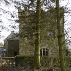
Tower House
6 km
Sheepfold 3/4 Miles North Of Greensidehill
3.2 km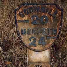
Milepost 520 Metres South Of Percy Cross
4.5 km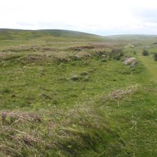
Round cairn 850m, and two Romano-British farmsteads, associated trackway, moated site, medieval settlement and field system 900m
5.1 km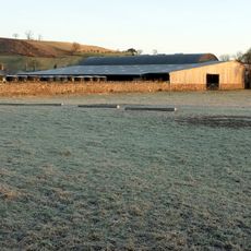
Farmbuildings To North West Of Brandon Farmhouse
2.7 km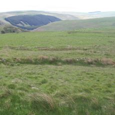
Settlement S of Hare Law
3.2 km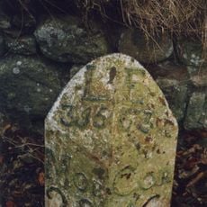
Milepost, Lilburn Tower, in cutting
7.6 kmVisited this place? Tap the stars to rate it and share your experience / photos with the community! Try now! You can cancel it anytime.
Discover hidden gems everywhere you go!
From secret cafés to breathtaking viewpoints, skip the crowded tourist spots and find places that match your style. Our app makes it easy with voice search, smart filtering, route optimization, and insider tips from travelers worldwide. Download now for the complete mobile experience.

A unique approach to discovering new places❞
— Le Figaro
All the places worth exploring❞
— France Info
A tailor-made excursion in just a few clicks❞
— 20 Minutes