
Hope Woodlands, civil parish in High Peak, Derbyshire, England
Location: High Peak
Shares border with: Edale, Hayfield, Charlesworth, Derwent, Bamford, Thornhill, Aston, Hope
GPS coordinates: 53.40000,-1.79000
Latest update: March 3, 2025 02:55
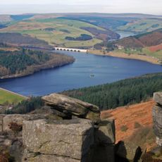
Ladybower Reservoir
5.2 km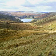
Pennine Way
3.7 km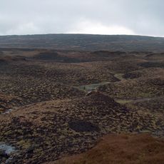
Bleaklow
8.2 km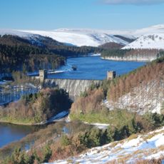
Howden Reservoir
4.6 km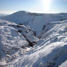
Grindslow Knoll
3.9 km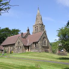
The Church of the Holy and Undivided Trinity, Edale
3.9 km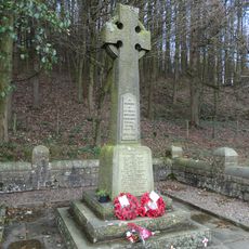
Derwent Woodlands War Memorial
4.3 km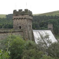
Derwent Dam
3.2 km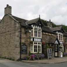
The Old Nags Head
3.7 km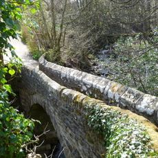
Gibraltar Bridge
3.7 km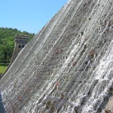
Howden Dam Howden Reservoir
4.4 km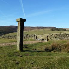
Hope Cross at OS 162 874 approximately 1 mile off Edale Road
2.7 km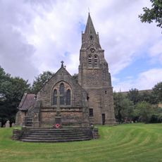
Edale War Memorial
3.9 km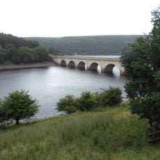
Ashopton Viaduct
5.9 km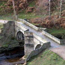
Slippery Stones packhorse bridge
6.5 km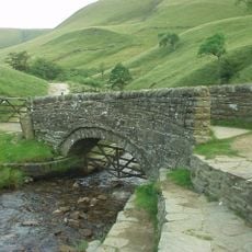
Packhorse Bridge at foot of Jacob's Ladder
6.1 km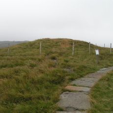
Kinderlow bowl barrow
7.2 km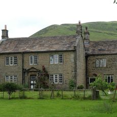
Ollerbrook Farmhouse
3.6 km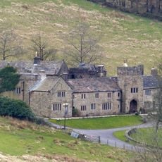
Upper House
8 km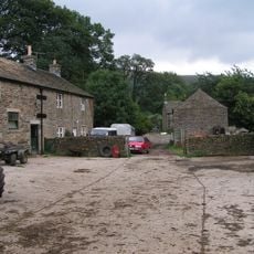
Edale End Farmhouse and attached barn
3.5 km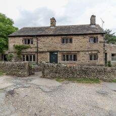
Lea House
3.7 km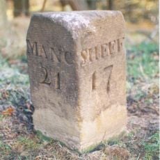
Milestone
3.1 km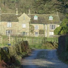
Grindslow House
3.5 km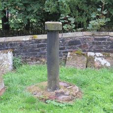
Sundial in old churchyard
3.9 km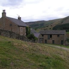
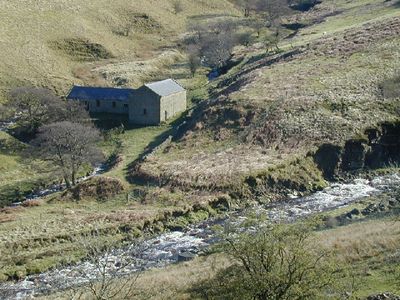
Upper Ashop Farmhouse
250 m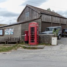
K6 Telephone Kiosk
3.8 km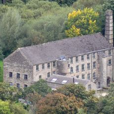
The Mill and attached chimney
3.9 km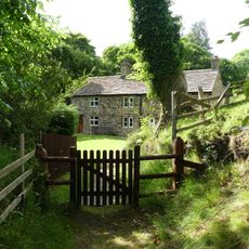
Carr Bank
3.7 kmVisited this place? Tap the stars to rate it and share your experience / photos with the community! Try now! You can cancel it anytime.
Discover hidden gems everywhere you go!
From secret cafés to breathtaking viewpoints, skip the crowded tourist spots and find places that match your style. Our app makes it easy with voice search, smart filtering, route optimization, and insider tips from travelers worldwide. Download now for the complete mobile experience.

A unique approach to discovering new places❞
— Le Figaro
All the places worth exploring❞
— France Info
A tailor-made excursion in just a few clicks❞
— 20 Minutes