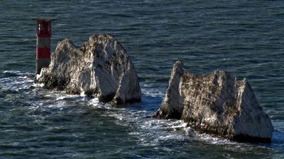
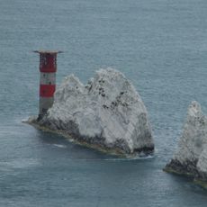
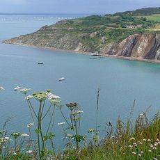
The Needles, Chalk stacks formation in Isle of Wight, England.
The Needles consist of three vertical chalk pillars rising from the water at the western tip of the Isle of Wight. A red and white lighthouse stands on the outermost rock, marking the entrance to the strait between the island and the mainland.
A fourth pillar called Lot's Wife collapsed into the sea during a storm in 1764, giving the formation its present name. The lighthouse was built in the 19th century to warn ships about the rocks and strong current.
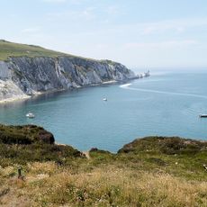
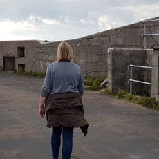
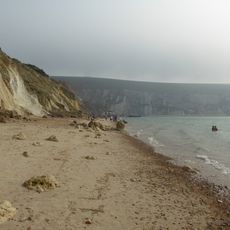
The white cliffs and lighthouse appear on postcards, souvenirs and local advertising as a recognizable emblem of the island. Visitors often see artists and hobbyist photographers at the viewpoint trying to capture the light over the water.
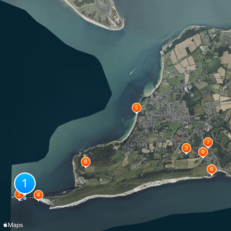
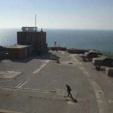
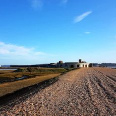
Viewing platforms at the Needles Landmark Attraction offer a safe view of the formation from around 328 feet (100 meters) above sea level. Boat trips from Alum Bay allow a close view of the chalk rocks from water level, depending on weather conditions.
The chalk layers stand vertically instead of horizontally because intense folding processes during Alpine mountain formation tilted the originally flat beds. This uncommon angle makes erosion faster and gives the pillars their narrow, upward form.
Website: http://theneedles.co.uk
GPS coordinates: 50.66270,-1.58933
Latest update: December 14, 2025 20:26
Needles Lighthouse
173 m
Farringford House
4.8 km
The Needles Battery
382 m
Colwell Bay
4 km
Freshwater Redoubt
5.4 km
Dimbola Lodge
5.4 km
Hatherwood Battery
1.9 km
St. Agnes' Church, Freshwater
5.2 km
Warden Point Battery
4.5 km
Christ Church, Totland
3.7 km
Headon Warren and West High Down SSSI
1.9 km
Totland Pier
3.9 km
Dimbola Museum And Galleries
5.3 km
Hurst Castle Garrison Theatre
5.5 km
Scenic viewpoint
1.6 km
Totland Bay War Memorial
3.8 km
Lower Needles Point Battery
455 m
Tennyson's Beacon
3.4 km
Briary Lodge
4.4 km
New Battery and High Down Test Site, The Needles
816 m
Old Needles Battery
441 m
Roman Catholic Church of Saviour, and the brick entrance walls
3.7 km
New Needles Battery
789 m
Hurst Castle and lighthouse
5.6 km
Bowl barrow on West High Down, 150m north of Roe's Hall
1.6 km
Alum Bay Beach
1.6 km
Milestone, West High Down, below Newport Road from Freshwater to Calbourne
2.2 km
Milestone, Freshwater
5.1 kmVisited this place? Tap the stars to rate it and share your experience / photos with the community! Try now! You can cancel it anytime.
Discover hidden gems everywhere you go!
From secret cafés to breathtaking viewpoints, skip the crowded tourist spots and find places that match your style. Our app makes it easy with voice search, smart filtering, route optimization, and insider tips from travelers worldwide. Download now for the complete mobile experience.
A unique approach to discovering new places❞
— Le Figaro
All the places worth exploring❞
— France Info
A tailor-made excursion in just a few clicks❞
— 20 Minutes