Ward of Aldersgate, Administrative ward in City of London, England.
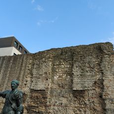
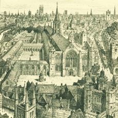
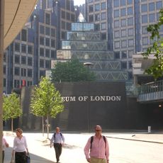
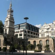
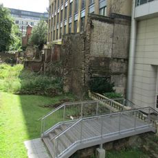
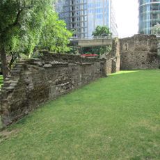
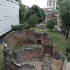
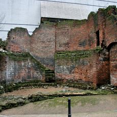
The Ward of Aldersgate is an administrative division in the City of London that extends from the location of the former northern gate through the central area. The ward incorporates sections of the Roman London Wall and is now defined by modern office buildings, with the ancient wall line forming the boundary between its inner and outer sections.
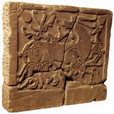
The name derives from Ealdredesgate, first recorded around 1000 AD, with the gate itself added to the Roman wall during the later Roman period. This gateway location shaped the area for centuries, establishing its role as a major crossroads and boundary between different sections of the city.
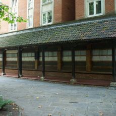
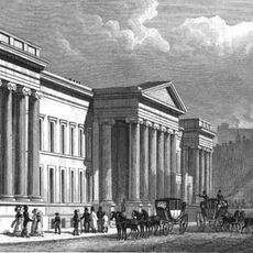
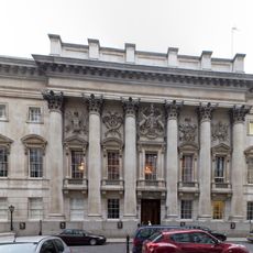
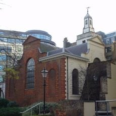
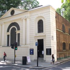
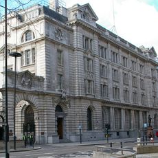
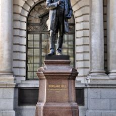
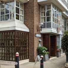
The ward contains two Livery Company halls, the Ironmongers' Hall and Plaisterers' Hall, where traditional ceremonies of the City of London take place today. These buildings serve as active centers where visitors can observe the rituals and practices that have shaped this historic part of the city.
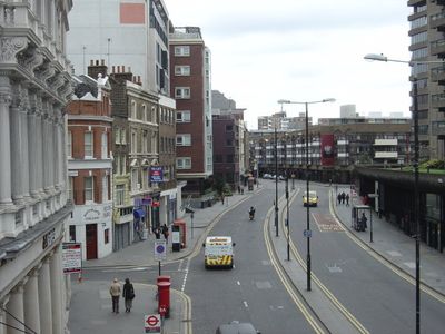
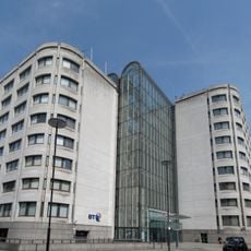
The ward divides into Aldersgate Within and Without sections, following the line of the ancient wall and showing distinct characteristics in each area. The zone is primarily a business district, so it tends to be most active during weekdays and quieter on weekends.
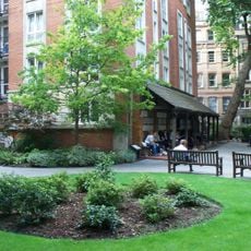
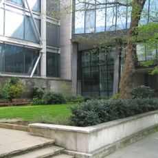
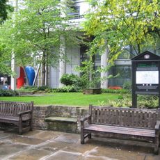
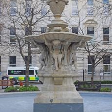
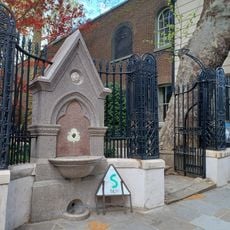
Postman's Park within the ward holds a memorial wall displaying plaques that honor people who lost their lives saving others. This hidden collection tells quiet stories of courage and sacrifice spanning different periods of history.
The community of curious travelers
AroundUs brings together thousands of curated places, local tips, and hidden gems, enriched daily by 60,000 contributors worldwide.