
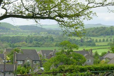
Acomb, village and civil parish in Northumberland, UK
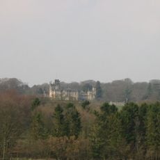
Beaufront Castle
3.3 km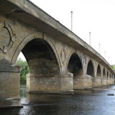
Hexham Bridge
1.9 km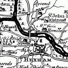
Hexham Old Bridge
1.1 km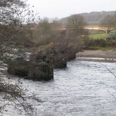
Border Counties Bridge
1.3 km
Milecastle 25
3.4 km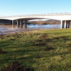
Constantius Bridge
1.3 km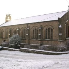
Church of St George
3 km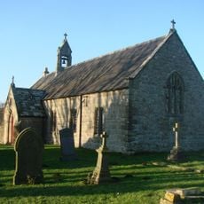
Church of St Oswald
3.2 km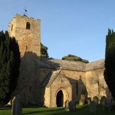
Church of St Michael
1.8 km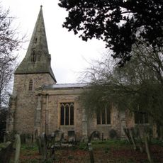
Church of St John of Beverley
694 m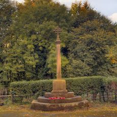
War Memorial to North-East of Church of St John
683 m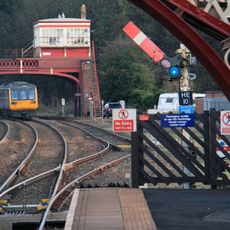
Hexham Signal Box
2.5 km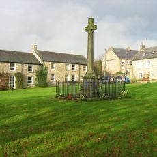
Wall War Memorial
3 km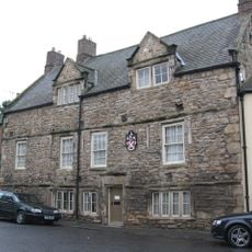
Holy Island House
2 km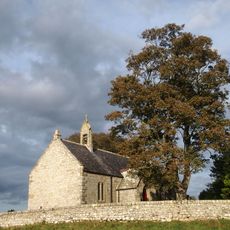
Churchyard Wall To Church Of St Oswald
3.2 km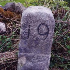
Milestone 420 Metres East Of St Oswalds Hill Head Farm
3.3 km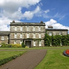
Hexham House
2.2 km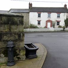
Pant With Adjacent Hydrant
235 m
Footbridge Over The Birkey Burn 220 Metres South Of Acomb House
350 m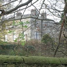
The Spital
1.4 km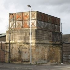
Water Tower To South East Of Hexham Railway Station
2.3 km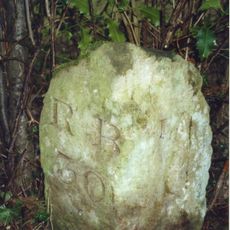
Milestone South Of Old Road 12 Metres West Of Entrance To The Hermitage
1.2 km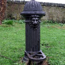
Hydrant 5 Metres South-West Of Cartshed South Of Fold Cottage
243 m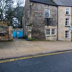
2, Gilesgate
2.2 km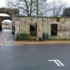
Wall To Bowling Green, From Hexham House To Priory Gateway
2.2 km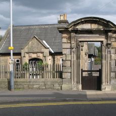
Entrance Gateway To The Henry King Memorial Almshouses
2.3 km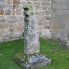
Cross In Churchyard About 3 Metres South Of Tower Of Church Of St Michael
1.8 km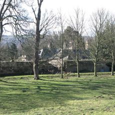
The Hermitage
1.3 kmVisited this place? Tap the stars to rate it and share your experience / photos with the community! Try now! You can cancel it anytime.
Discover hidden gems everywhere you go!
From secret cafés to breathtaking viewpoints, skip the crowded tourist spots and find places that match your style. Our app makes it easy with voice search, smart filtering, route optimization, and insider tips from travelers worldwide. Download now for the complete mobile experience.

A unique approach to discovering new places❞
— Le Figaro
All the places worth exploring❞
— France Info
A tailor-made excursion in just a few clicks❞
— 20 Minutes