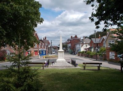
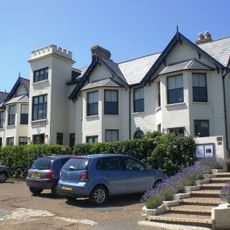
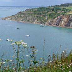
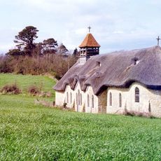
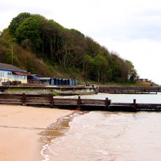
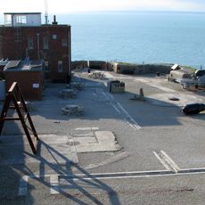
Totland, village, civil parish and electoral ward at the western tip of the Isle of Wight
Location: Isle of Wight
Website: https://totlandparishcouncil.org.uk
GPS coordinates: 50.68492,-1.53658
Latest update: March 4, 2025 21:09
The Needles
4.5 km
Needles Lighthouse
4.6 km
Farringford House
1.4 km
The Needles Battery
4.2 km
Colwell Bay
537 m
Golden Hill Fort
1.2 km
Dimbola Lodge
1.8 km
Hatherwood Battery
2.6 km
West Wight Sports Centre
945 m
St. Agnes' Church, Freshwater
1.9 km
Warden Point Battery
555 m
Christ Church, Totland
1 km
Headon Warren and West High Down SSSI
2.8 km
Dimbola Museum And Galleries
2 km
Scenic viewpoint
2.9 km
Totland Bay War Memorial
914 m
Lower Needles Point Battery
4.1 km
New Battery and High Down Test Site, The Needles
3.9 km
Tennyson's Beacon
2.1 km
Briary Lodge
1.2 km
Roman Catholic Church of Saviour, and the brick entrance walls
1 km
Old Needles Battery
4.1 km
New Needles Battery
3.9 km
Bowl barrow on West High Down, 150m north of Roe's Hall
3.2 km
Alum Bay Beach
2.9 km
Milestone, West High Down, below Newport Road from Freshwater to Calbourne
2.7 km
Milestone, Freshwater
1 km
Needles Viewpoint
4 kmReviews
Visited this place? Tap the stars to rate it and share your experience / photos with the community! Try now! You can cancel it anytime.
Discover hidden gems everywhere you go!
From secret cafés to breathtaking viewpoints, skip the crowded tourist spots and find places that match your style. Our app makes it easy with voice search, smart filtering, route optimization, and insider tips from travelers worldwide. Download now for the complete mobile experience.
A unique approach to discovering new places❞
— Le Figaro
All the places worth exploring❞
— France Info
A tailor-made excursion in just a few clicks❞
— 20 Minutes