Radnor Forest, Protected mountain range in Powys, Wales.
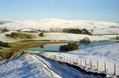
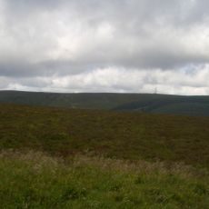
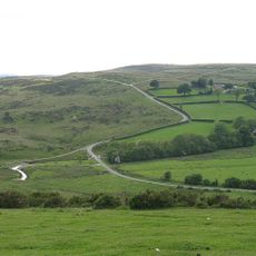
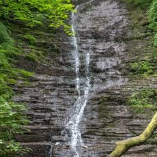
Radnor Forest is a protected mountain range in Powys, Wales, covering around 1,600 hectares with peaks reaching approximately 660 meters high. The landscape features varied rock types including shales and limestone that create different zones across the terrain.
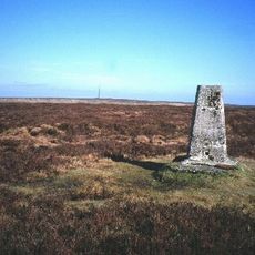
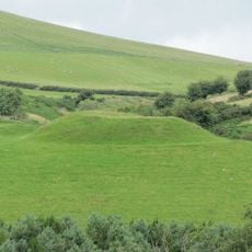
The forest shows evidence of Bronze Age settlement through burial mounds and stone circles found on elevated locations. These archaeological remains indicate humans have used this land for thousands of years.
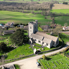
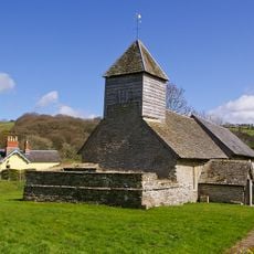
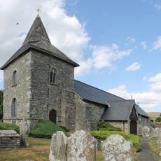
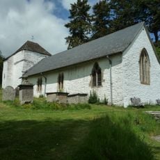
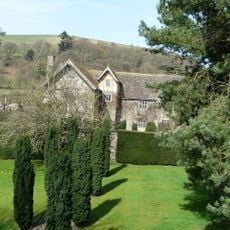
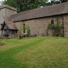
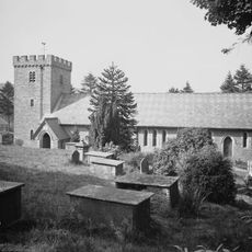
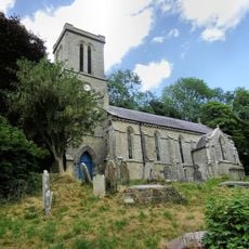
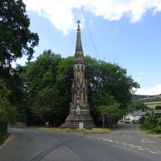
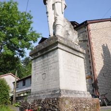
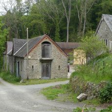
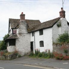
Four churches dedicated to St Michael surround the forest, each built according to a Welsh belief about containing protective forces within the landscape. Visitors who explore the nearby villages can see how these sacred buildings reflect local traditions still valued by residents.
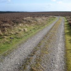
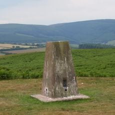
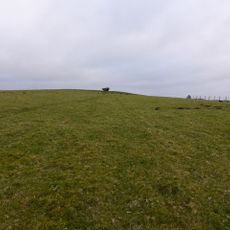
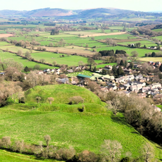
The area is best explored on foot using forestry paths and trails accessible from roads near New Radnor village. Access is straightforward, but weather conditions can change quickly, so visitors should come prepared for variable conditions.
The forest hosts research stations for monitoring deer populations, as these animals significantly affect the local vegetation. This scientific work helps keep the ecosystem balanced and is one of the less obvious aspects of the protected site.
The community of curious travelers
AroundUs brings together thousands of curated places, local tips, and hidden gems, enriched daily by 60,000 contributors worldwide.