Rhos Fawr, Mountain summit and scientific reserve in Powys, United Kingdom.
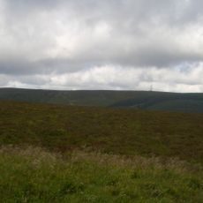
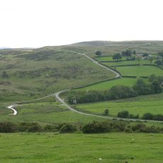
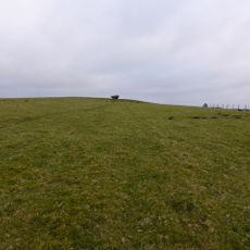
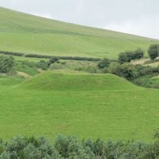
Rhos Fawr is a 660-meter peak in the Radnor Forest, covered by a broad heathland plateau with exposed sedimentary rock formations including shale and limestone. The surface displays geology from the Silurian period that shapes the underlying character of this mountainous landscape.
The summit gained protection status in the 1970s when the Nature Conservancy Council designated it as a Site of Special Scientific Interest. This designation reflected the importance of its geological and ecological qualities.
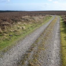
The Welsh name means 'Big Moor', describing the open heathland with low vegetation that covers this place. Visitors experience this rolling moorland landscape that defines the character of the summit today.
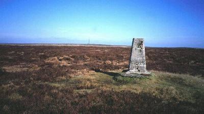
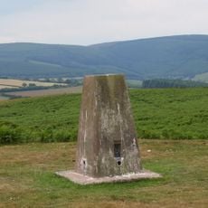
A triangulation point marks the summit position and provides navigation assistance for hikers crossing the open plateau. The ascent is relatively straightforward, and the broad flat summit area offers multiple walking routes to explore.
The summit meets multiple classification standards for mountain peaks and historically served as the highest point of Radnorshire county. These multiple designations make it particularly notable among hikers and peak collectors pursuing different classification systems.
The community of curious travelers
AroundUs brings together thousands of curated places, local tips, and hidden gems, enriched daily by 60,000 contributors worldwide.