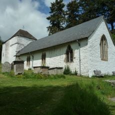
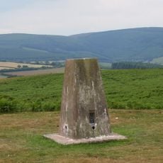
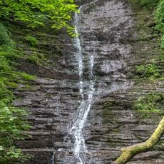
Bache Hill, Summit in Radnor Forest, Wales.
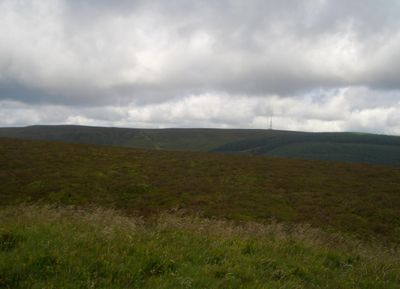
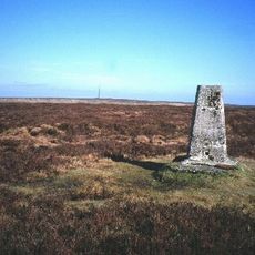
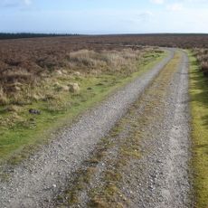
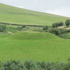
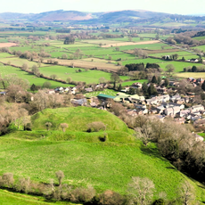
Bache Hill rises to about 610 meters in Central Wales as a grassy summit topped with a triangulation marker. The mountain sits within Radnor Forest and is surrounded by valleys that offer various walking approaches.
The summit contains a Bronze Age burial mound that later surveyors built their triangulation station upon. This layering of ancient remains and modern surveying reflects how the site has served different purposes across centuries.
Locals call this summit Bryn Bach in Welsh, a name reflecting the language traditions of the Powys region. This dual naming shows how Welsh remains part of everyday speech in Central Wales.
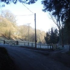
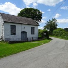
The summit is accessible via Ordnance Survey maps 137 and 201N, with multiple walking routes starting from the surrounding valley paths. Bringing these maps is helpful when planning your route, as the hill can be approached from several directions.
The hill's height measurement includes an ancient burial mound, sparking discussions among geographers about what the true natural height might be. This blend of archaeological and natural features makes measuring this location more complicated than many other summits.
The community of curious travelers
AroundUs brings together thousands of curated places, local tips, and hidden gems, enriched daily by 60,000 contributors worldwide.