Harborne, Residential suburb in Birmingham, England
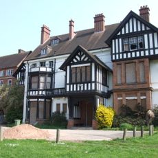
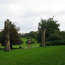
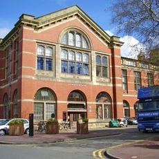
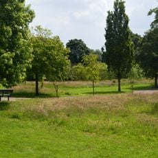
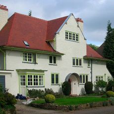
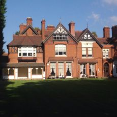
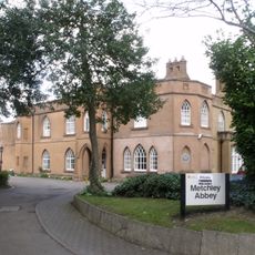
Harborne is a residential suburb located a few miles southwest of Birmingham city center, characterized by Victorian properties alongside contemporary homes. The area features tree-lined streets and scattered green spaces that give it a leafy, settled character.
The area first appears in the Domesday Book of 1086, with its name possibly coming from a term meaning boundary brook. It transformed from a rural village into a Victorian suburb as rail connections and later bus services allowed Birmingham to expand outward.
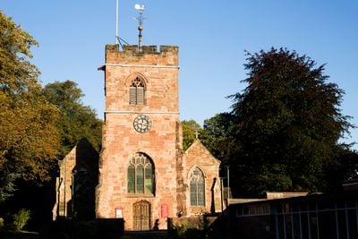
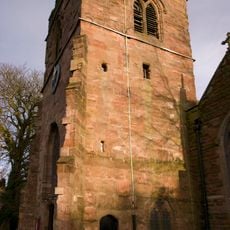
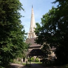
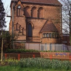
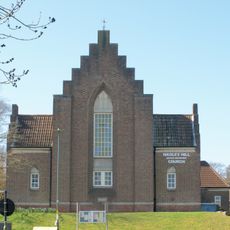
The St Peter's Church, established during the Anglo-Saxon period, stands at the center of the original Harborne Village settlement.
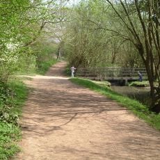
Several bus routes provide direct connections to Birmingham's city center, making it easy to reach the wider area. The old railway corridor has been converted into a walking and cycling path that runs through the neighborhood and links to nearby districts.
The area was home to the Chad Valley Company, one of Britain's leading toy makers, which operated there for eight decades in the 1900s. The factory shaped local employment and connected generations of residents through its toy and game production.
Location: Birmingham
GPS coordinates: 52.45000,-1.97000
Latest update: December 7, 2025 10:04
Joseph Chamberlain Memorial Clock Tower
2.7 km
Metchley Fort
2.1 km
Northfield Manor House
2.5 km
Warley Woods
2.7 km
Lapworth Museum of Geology
2.6 km
Weoley Castle
774 m
St Peter's Church, Harborne
915 m
Woodgate Valley Country Park
1.8 km
St Mary's Church
2.1 km
St Faith and St Laurence's Church, Harborne
1.3 km
St David's Church, Shenley Green
2.7 km
St Gabriel's Church, Weoley Castle
1.7 km
Selly Oak Park
1.8 km
Queens Park, Birmingham
1 km
Church of Our Lady and St Rose of Lima
1.6 km
Selly Oak Pumping Station
2.3 km
Selly Oak Library
2.4 km
Selly Oak Elim Church
2.8 km
Weoley Hill United Reformed Church
2.1 km
21 Yateley Road
2.5 km
Great Hall and Quadrant Range
2.7 km
Berrow Court Hotel
2.8 km
Metchley Abbey
1.8 km
The Bell Public House
849 m
Knutsford Lodge
2.7 km
641 And 659, Bristol Road B29
2.4 km
1046, Bristol Road B29
2.6 km
Garden Wall And Gate Piers To Number 25
2.5 kmVisited this place? Tap the stars to rate it and share your experience / photos with the community! Try now! You can cancel it anytime.
Discover hidden gems everywhere you go!
From secret cafés to breathtaking viewpoints, skip the crowded tourist spots and find places that match your style. Our app makes it easy with voice search, smart filtering, route optimization, and insider tips from travelers worldwide. Download now for the complete mobile experience.
A unique approach to discovering new places❞
— Le Figaro
All the places worth exploring❞
— France Info
A tailor-made excursion in just a few clicks❞
— 20 Minutes